
Surface/Context
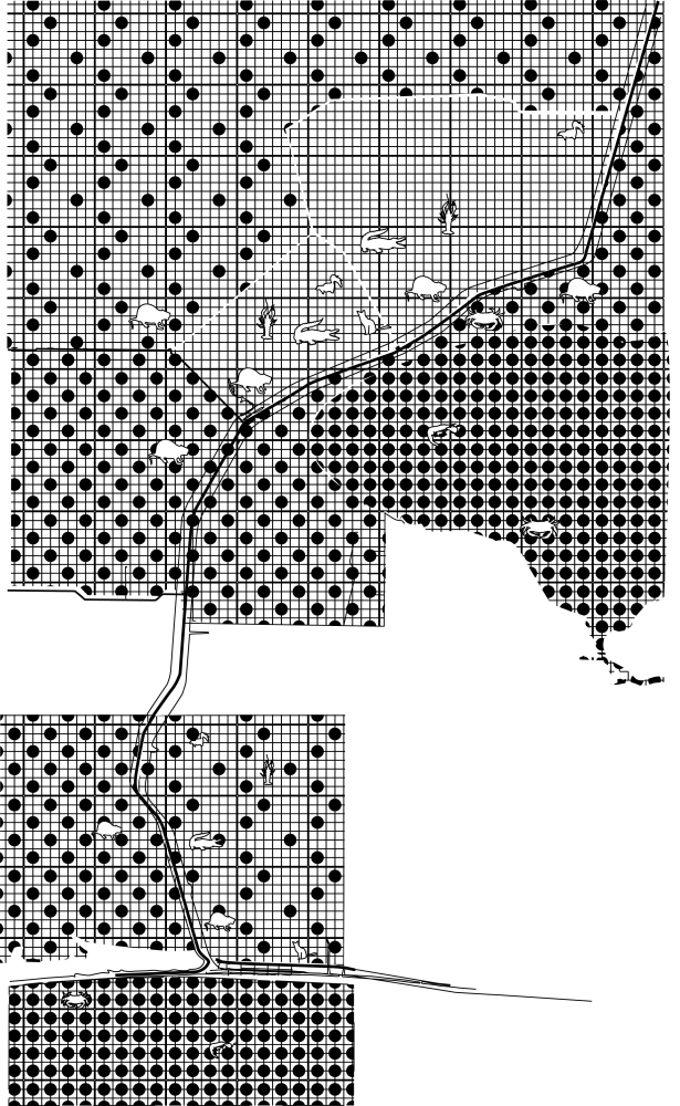
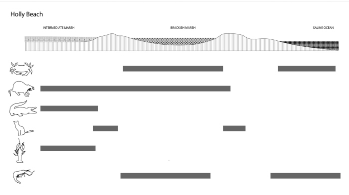
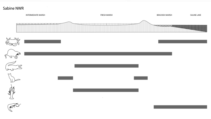
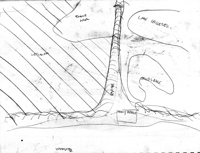
Cameron Parish Diagrams - Salinity and habitat range. Sites are East Sabine NWR and the Intersection of 82 & 27 near Holly beach.
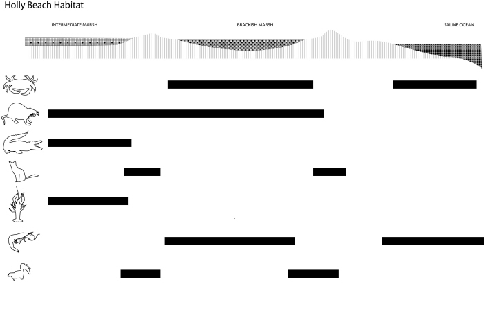
Cameron Parish Diagrams - Salinity and habitat range. Sites are East Sabine NWR and the Intersection of 82 & 27 near Holly beach.
Cameron Parish Diagrams - Salinity and habitat range. Sites are East Sabine NWR and the Intersection of 82 & 27 near Holly beach.
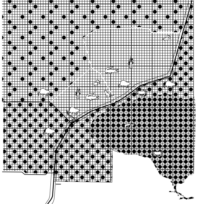
Cameron Parish Diagrams - Salinity and habitat range. Sites are East Sabine NWR and the Intersection of 82 & 27 near Holly beach.
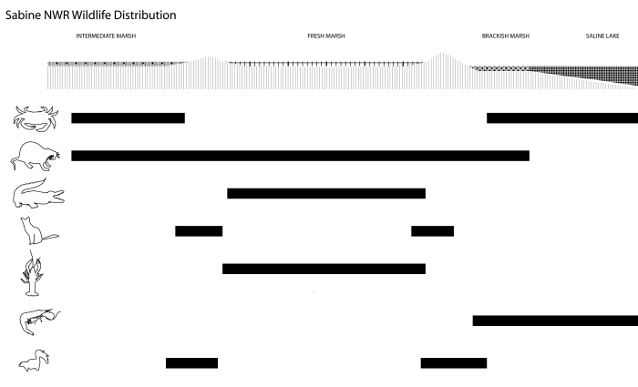
Cameron Parish Diagrams - Salinity and habitat range. Sites are East Sabine NWR and the Intersection of 82 & 27 near Holly beach.
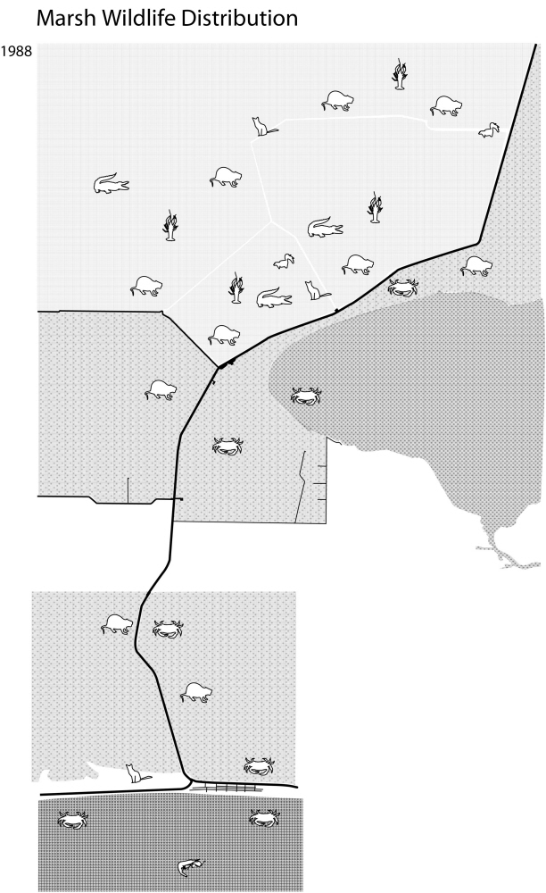
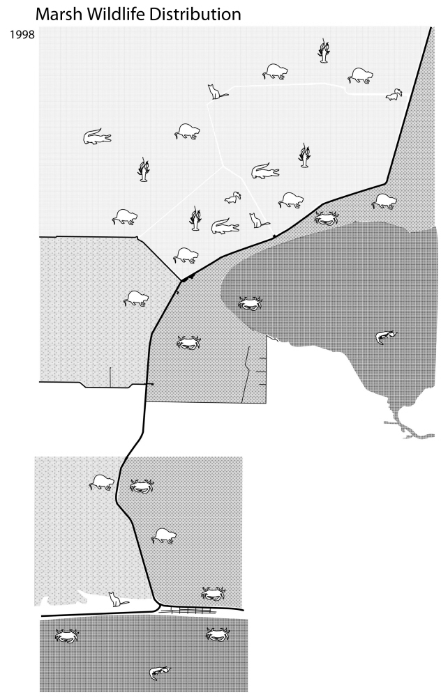
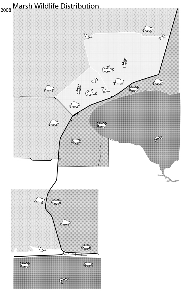
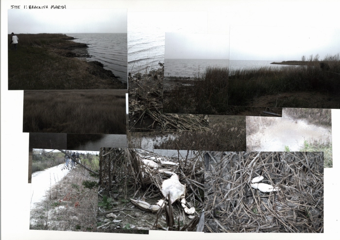
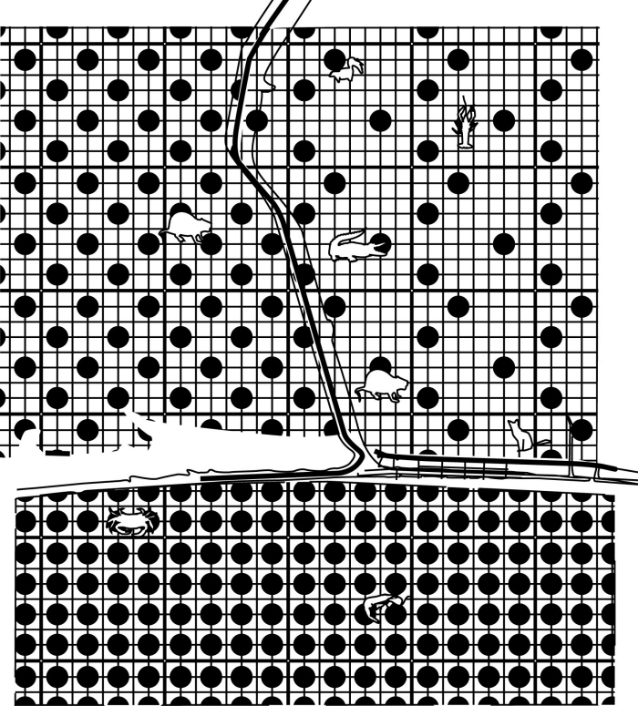
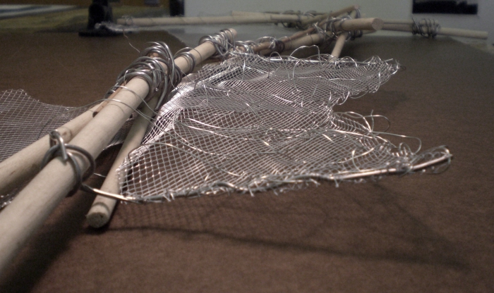
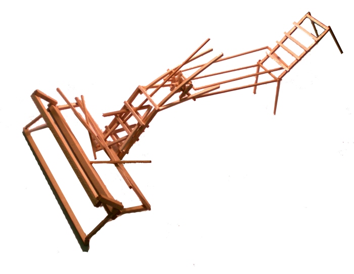
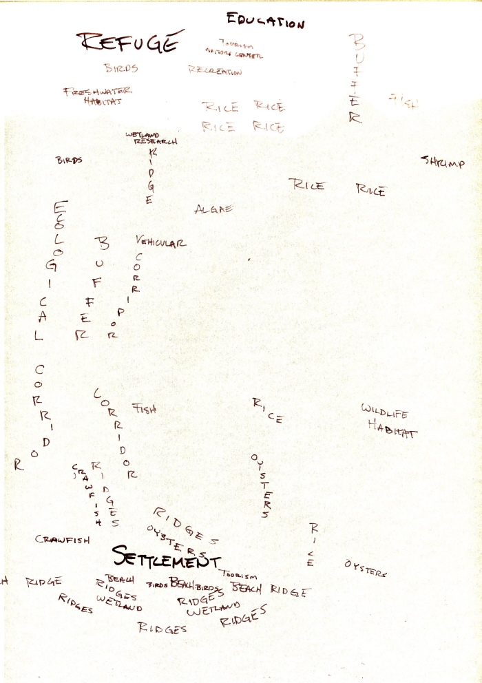
Montage
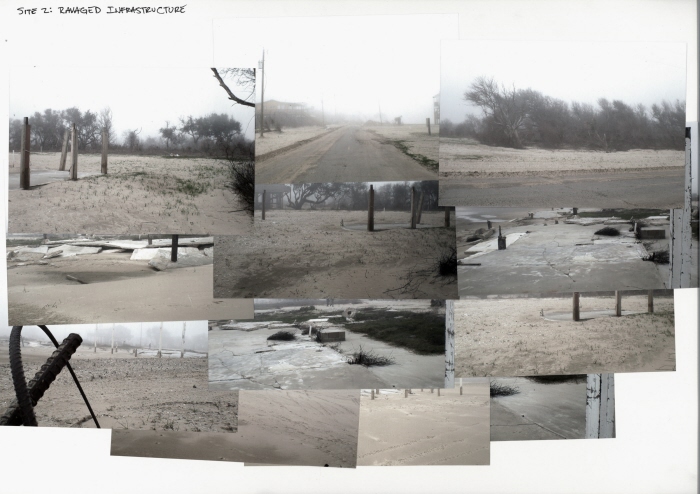
Montage
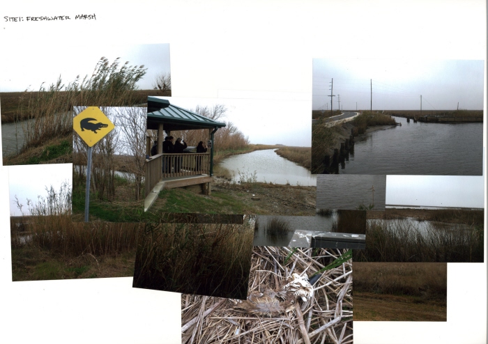
Montage
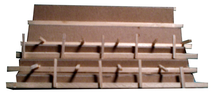
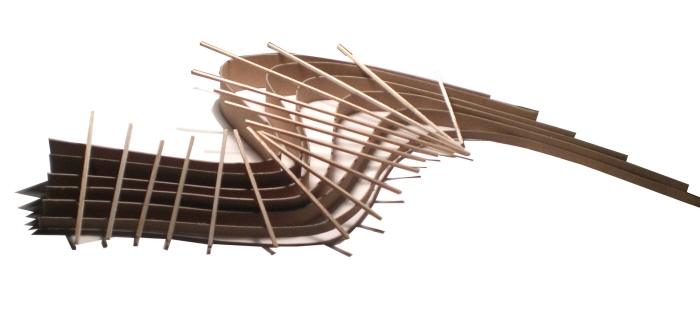
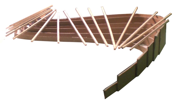
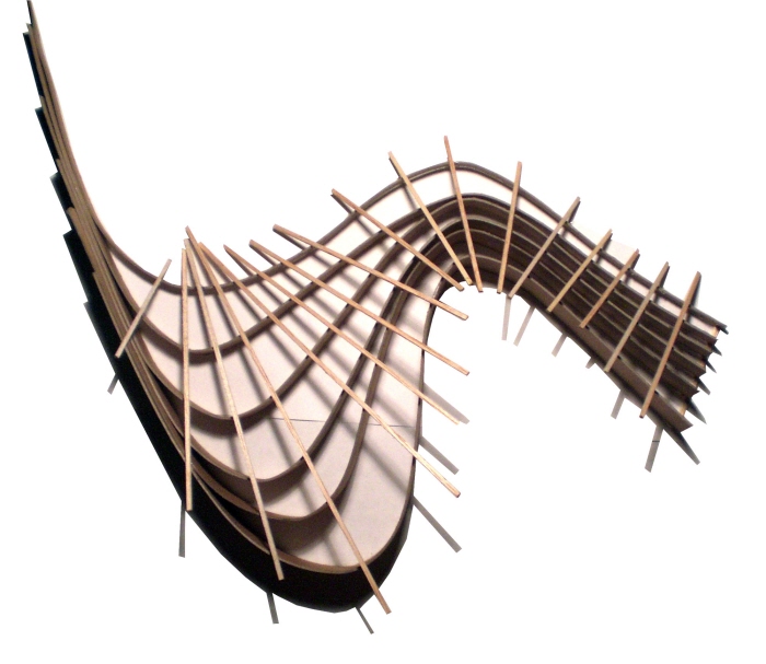
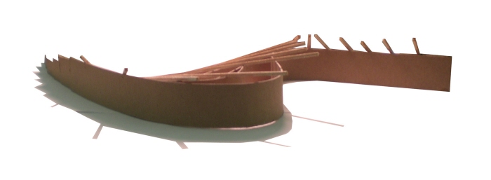
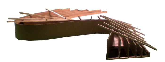
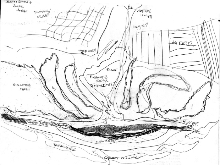
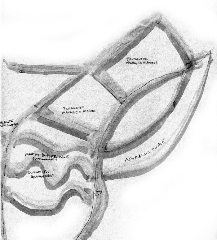
Ridge and Marsh Diversity Model
Ridge and Marsh Diversity Model
Ridge and Marsh Diversity Model
Ridge and Marsh Diversity Model
Ridge and Marsh Diversity Model
Ridge and Marsh Diversity Model
Ridge and Marsh Diversity Model
Ridge and Marsh Diversity Model

Ridge and Marsh Diversity Model

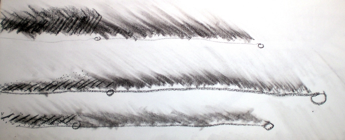
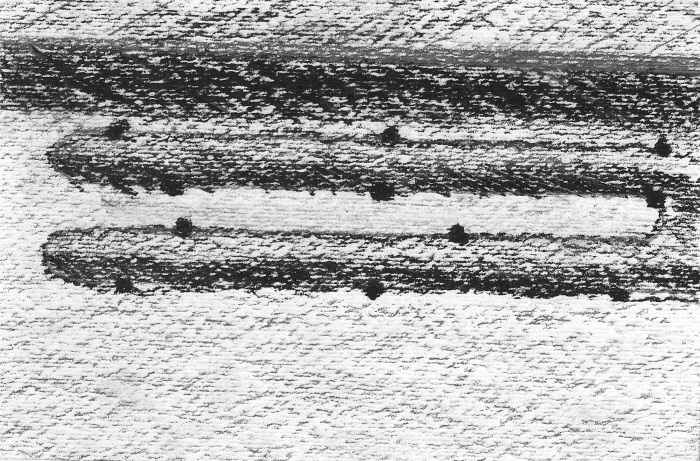
Blind Contour Drawing
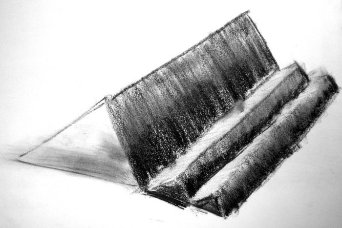
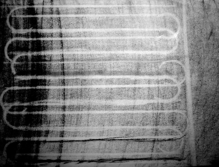
Tone Excercise

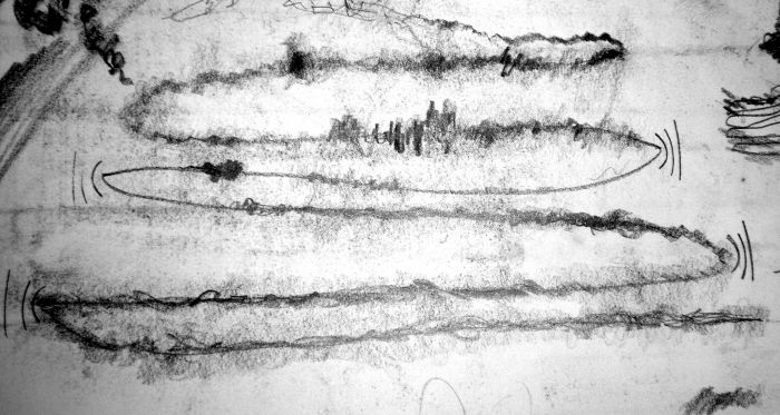
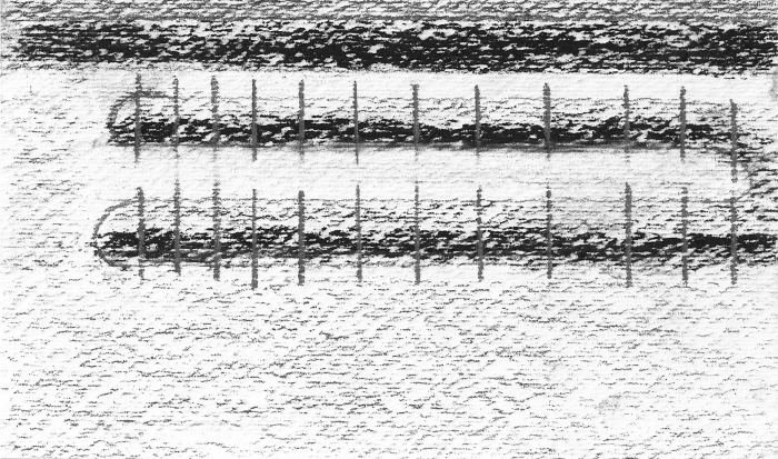
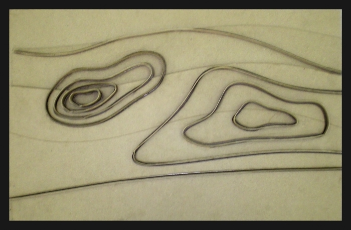
Prelim Lines & Planes
Prelim Lines & Planes
Prelim Lines & Planes
Prelim Lines & Planes
Prelim Lines & Planes
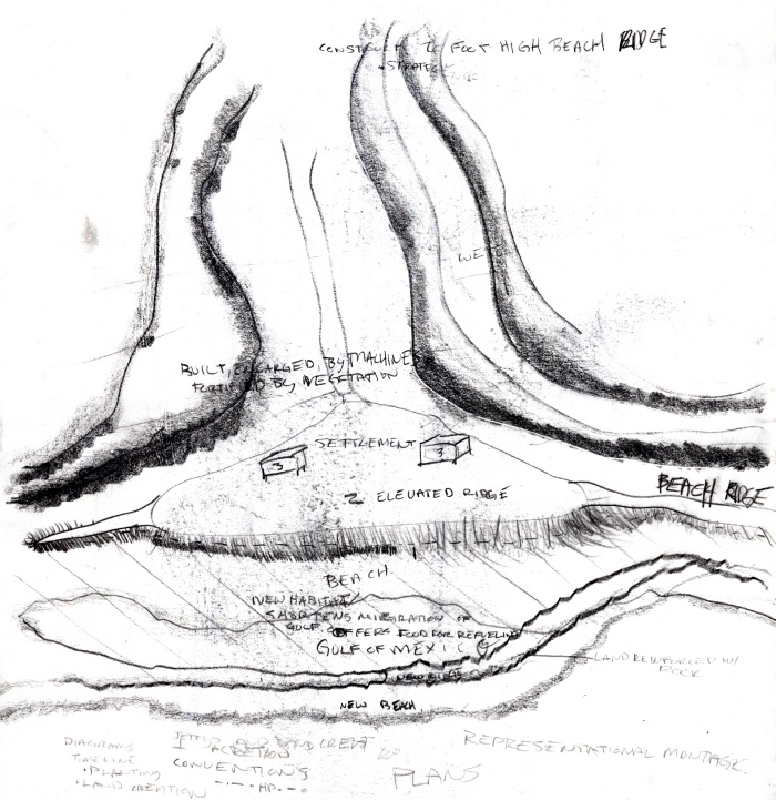
Land Creation Plan 1
Land Creation Plan 2
Land Creation Plan 3
Land Creation Plan 4
Land Creation Plan 5
Land Creation Section 1
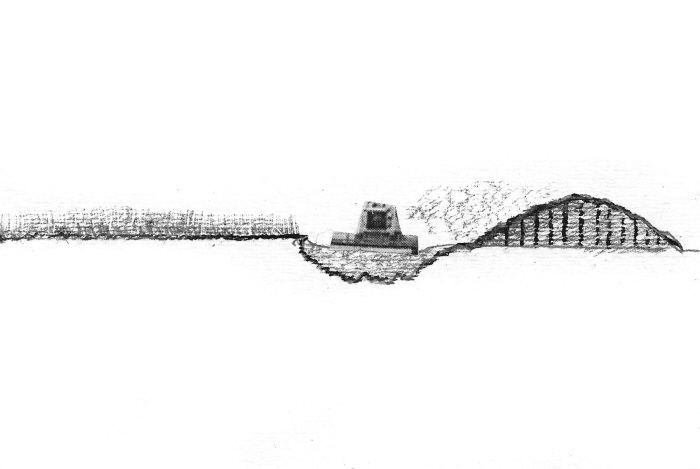
Land Creation Section 2
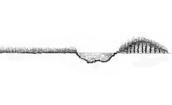
Land Creation Section 3
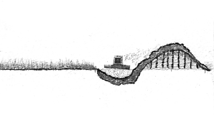
Land Creation Section 4
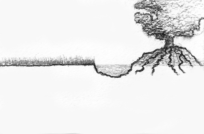
Land Creation Section 5
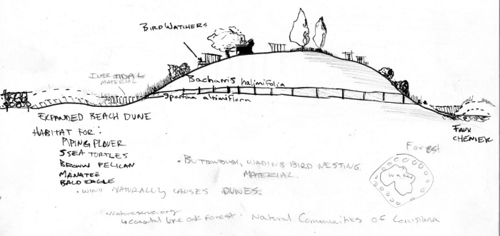
Front Detail
Mid Detail
Rear Detail
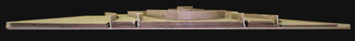
Section
Plan
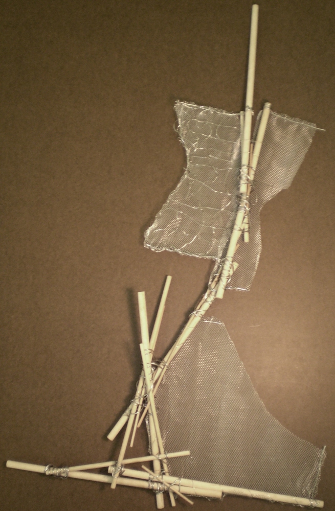
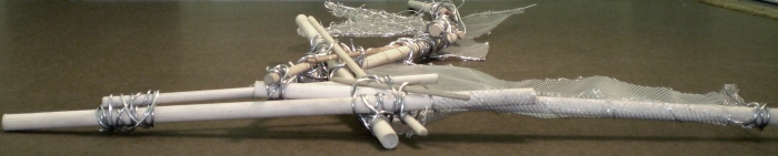
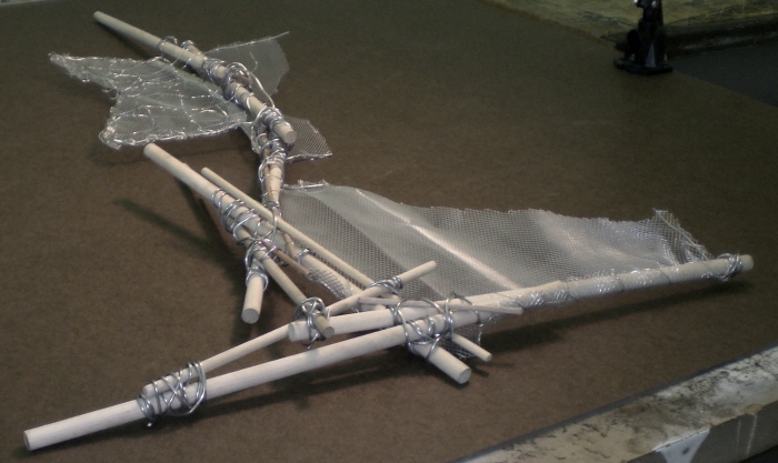
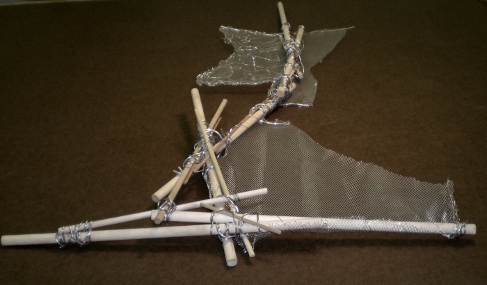
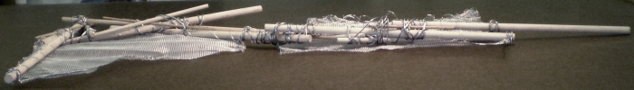
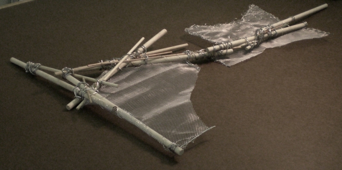
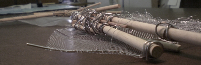
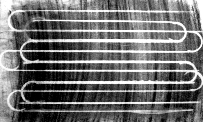
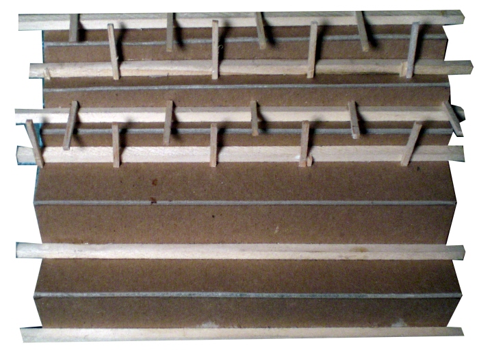
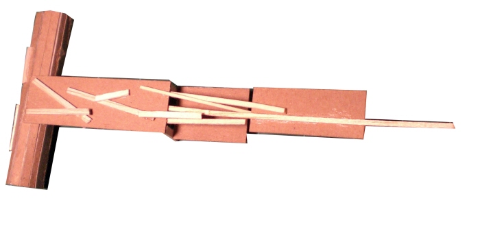
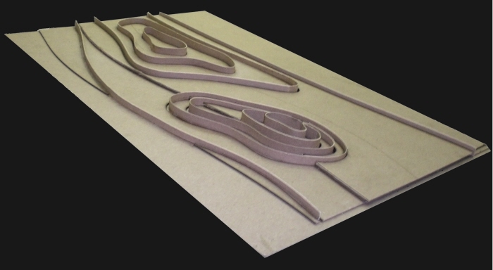
Lines Model
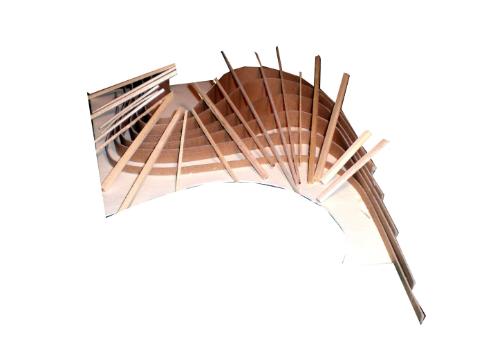
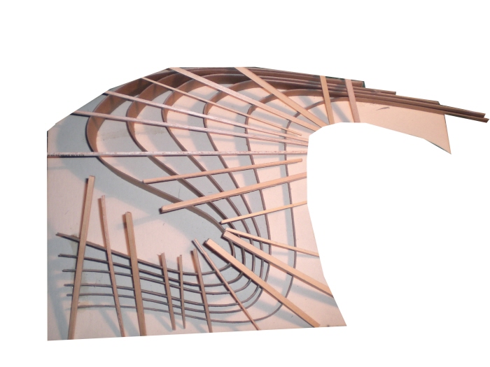
Lines & Planes Model
Lines & Planes Model
Lines & Planes Model
Lines & Planes Model
Lines & Planes Model
Beginning Project 3 in Chronologic Order - Conceptual Perspective - Project 3 Progress
Wordsmithing - Project 3 Progress
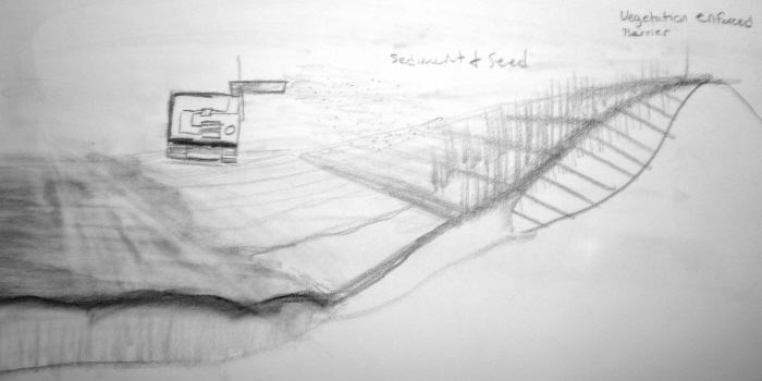
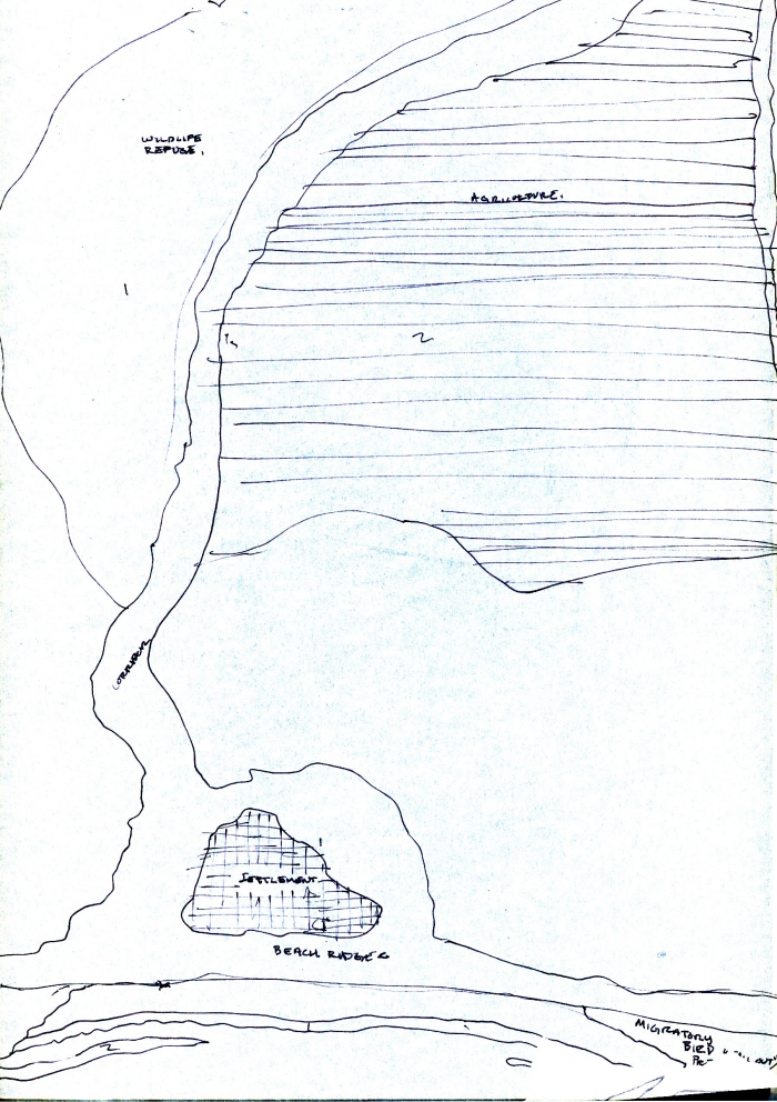
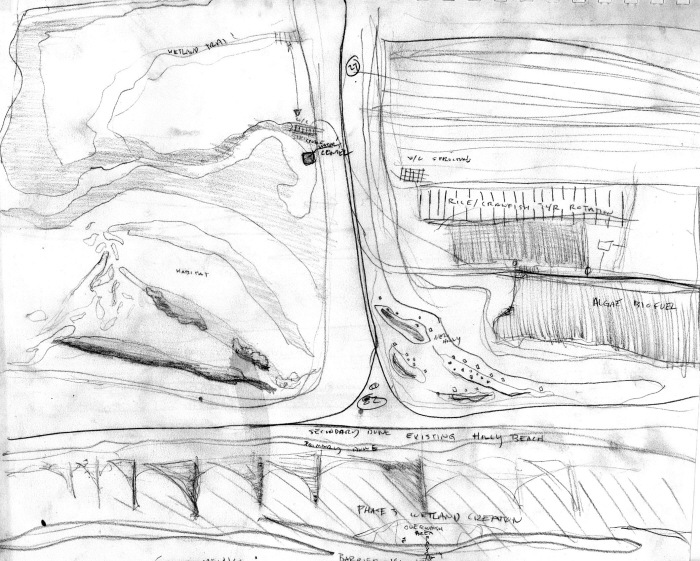
Holly Beach Concept - Project 3 Progress
Concept Plan 1 - Project 3 Progress
Concept Plan 2 - Project 3 Progress
Concept Plan 3 - Project 3 Progress
Ridge Formation Sections - Project 3 Progress
Sabine NWR Plan 1 - Project 3 Progress
Sabine NWR Plan 2
Concept Plan 4 - Project 3 Progress
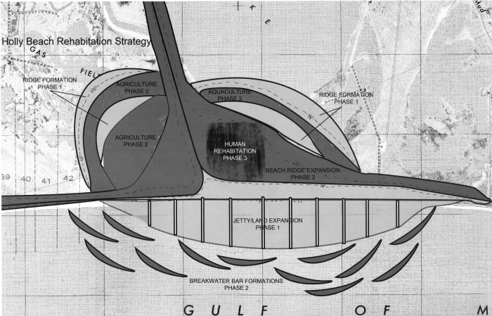
Holly Beach Plan 1
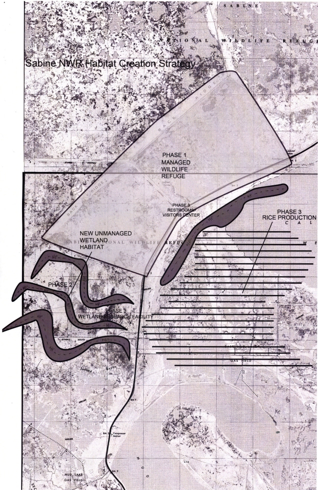
Sabine NWR Plan 3 - Project 3 Progress
Holly Beach Plan 2 - Project 3 Progress
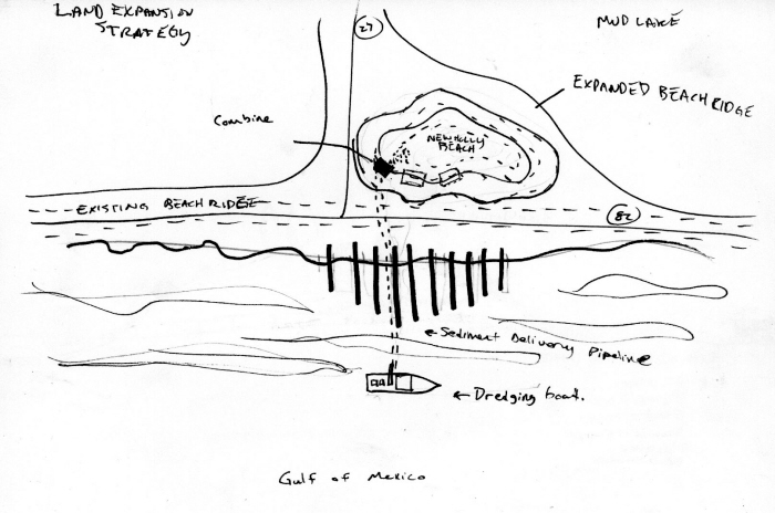
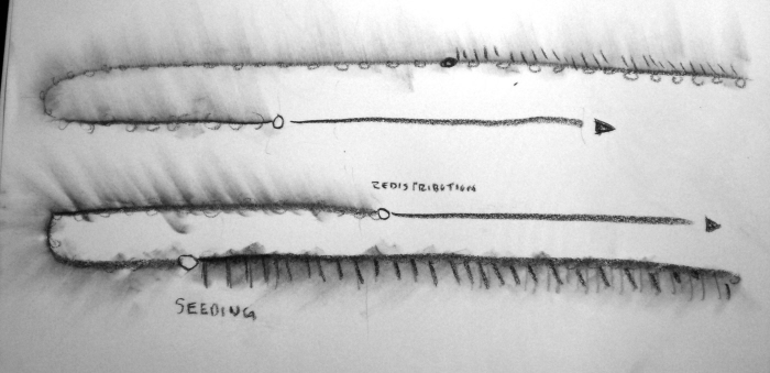
Land Building Diagram - Project 3 Progress
Holly Beach Plan 3
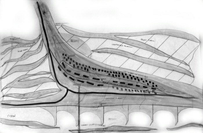
Holly Beach Plan 4
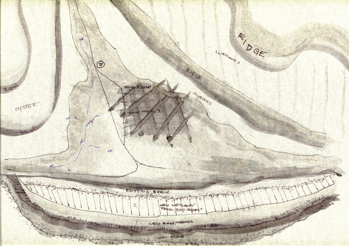
HB_Section - Project 3 Progress
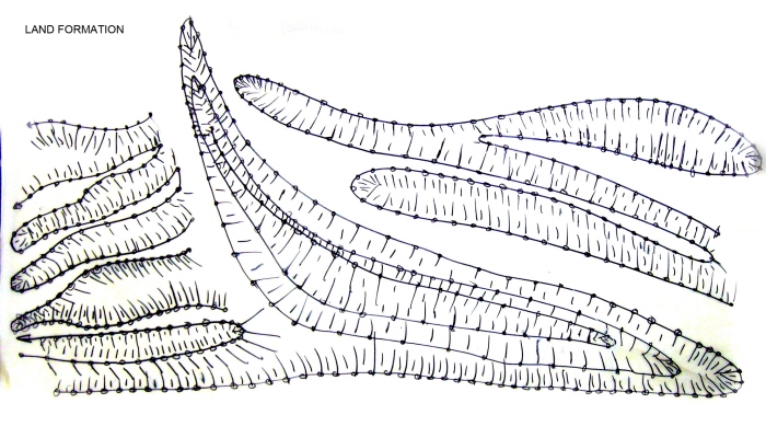
Land Formation, Machine Movement
Holly Beach Relief
Holly Beach Relief
Holly Beach Plan 5 - Project 3 Progress
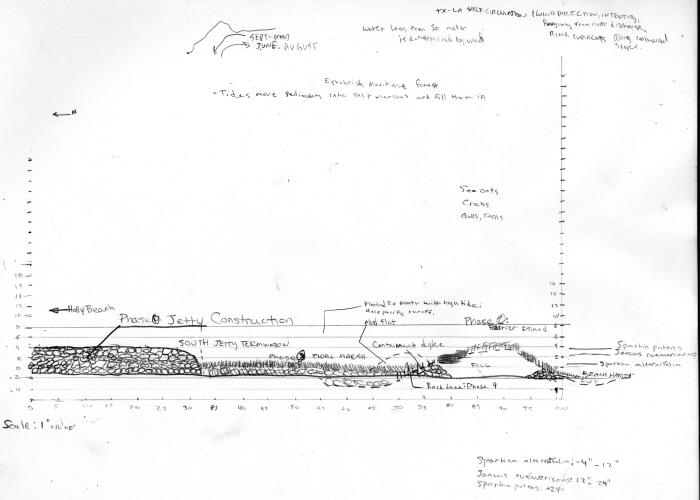
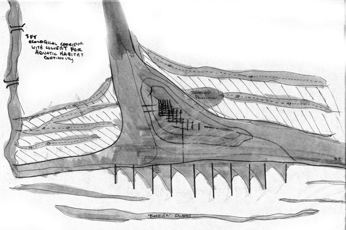
Barrier Island Section - Project 3 Progress
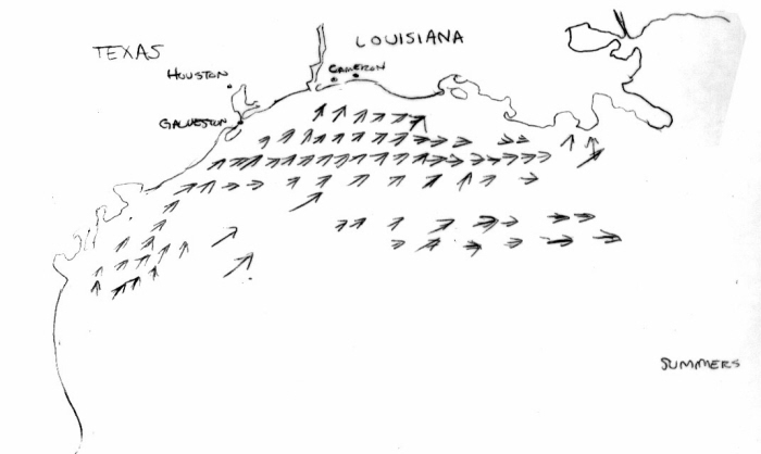
TX - LA Shelf Currents Summer - Based on a 1992 TAMU Oceanography Study
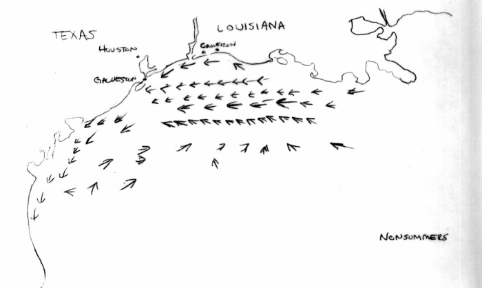
TX - LA Shelf Currents Nonsummer - Based on a 1992 TAMU Oceanography Study
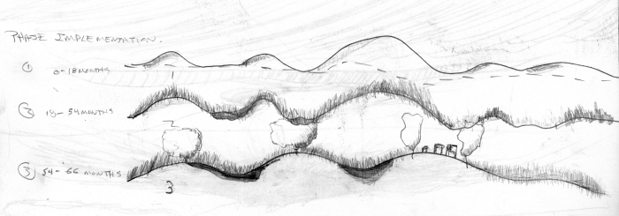
original, unrevised timeline
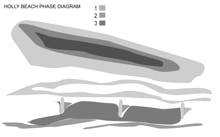
Original, unrevised phase diagram
Model - SE ISO - Existing/Proposed Topography juxtaposition
Model - Plan - Existing/Proposed Topography juxtaposition
Model - Elevation East - Existing/Proposed Topography juxtaposition
Model - Existing/Proposed Topography juxtaposition
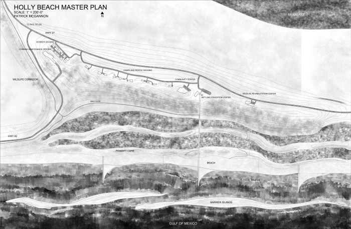
Original Master Plan Project 3 - Before revisions
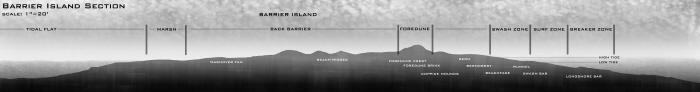
Barrier Island Section
Revised Master Plan Project 3
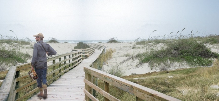
Boardwalk and Dune Perspective
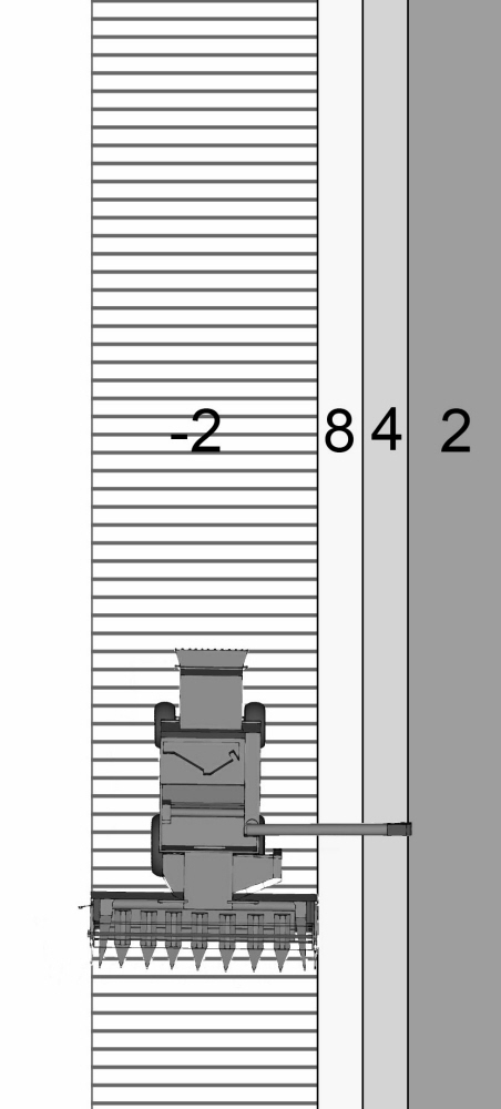
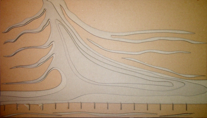
Machine Land Formation Diagram - Plan
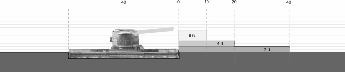
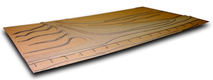
Machine Land Formation Diagram - Section
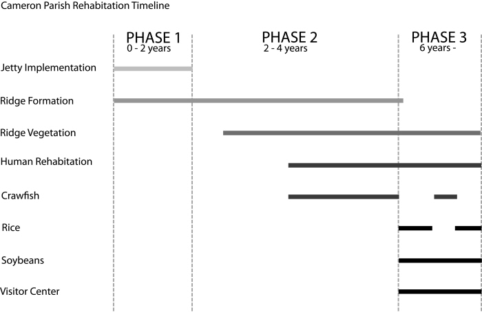
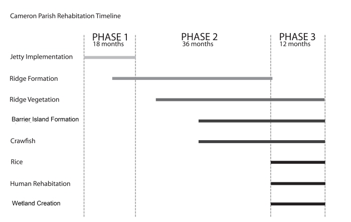
Revised Timeline
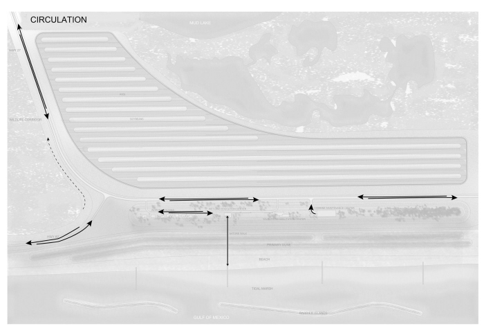
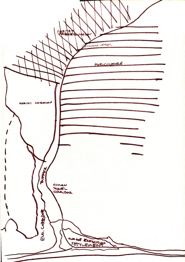
Circulation
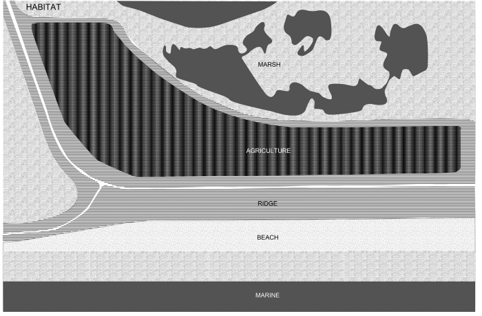
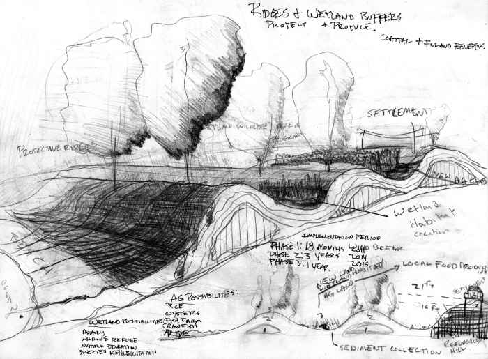
Habitat Diagram
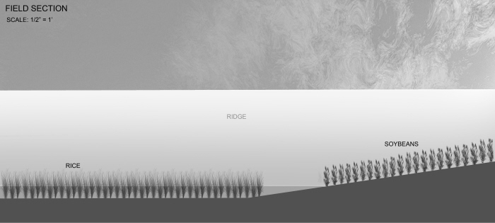
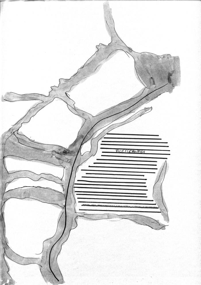
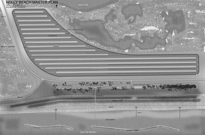
Ag Field Section
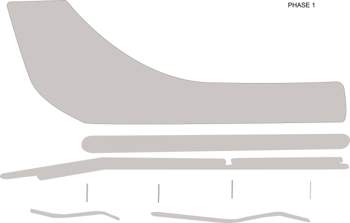
Revised Phase 1
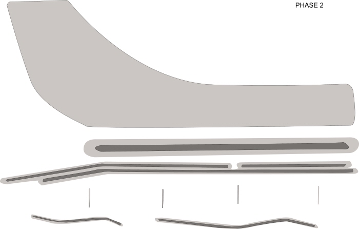
Revised Phase 2
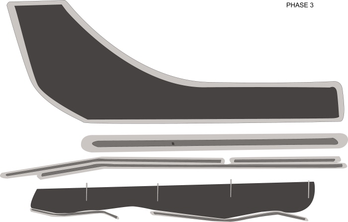
Revised Phase 3
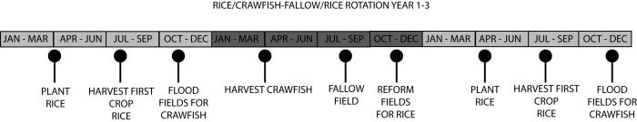
Crawfish & Rice Rotation Timeline
gLike
Patrick McGannon