
Context Map
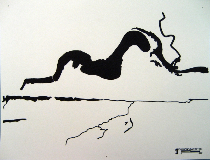
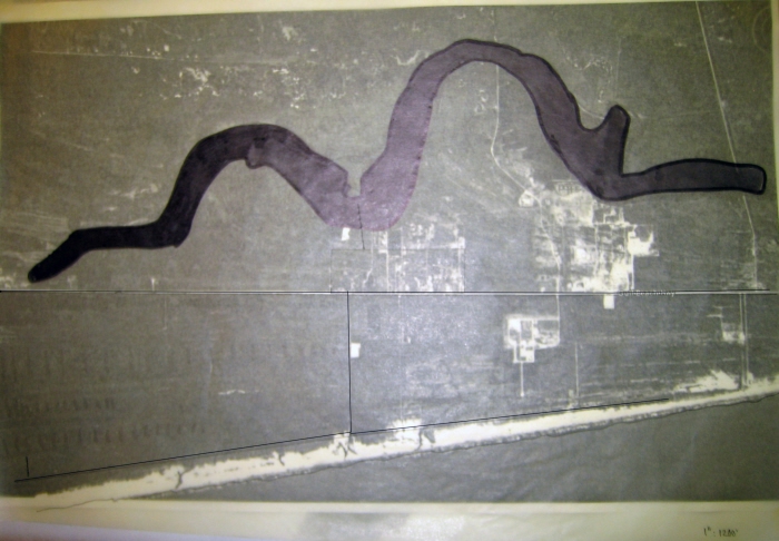
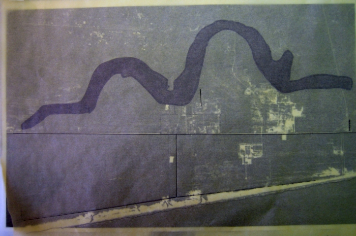
Johnson's Bayou Water Surface 1935
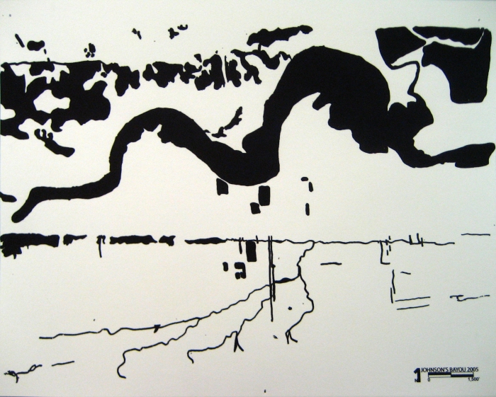
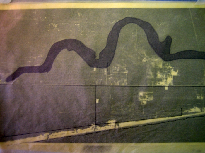
Johnson's Bayou Water Surface 2005
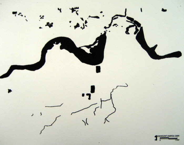
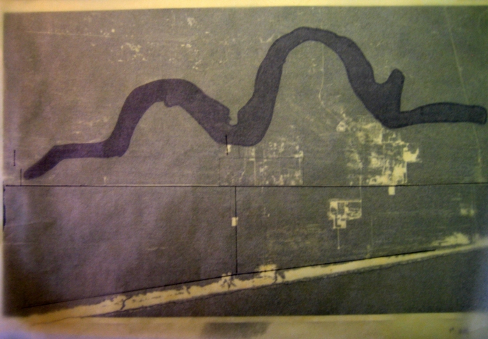
Johnson's Bayou Water Surface 2009
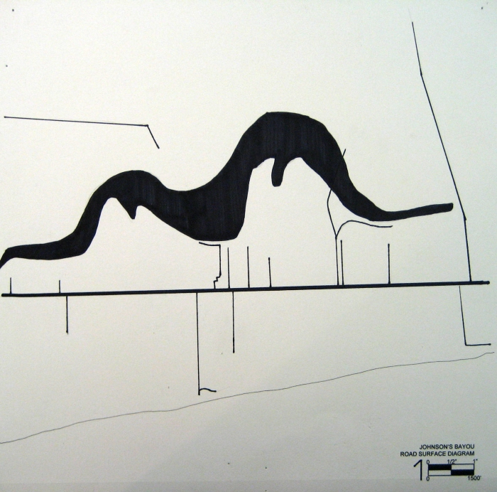
Johnson's Bayou Road Surface Diagram
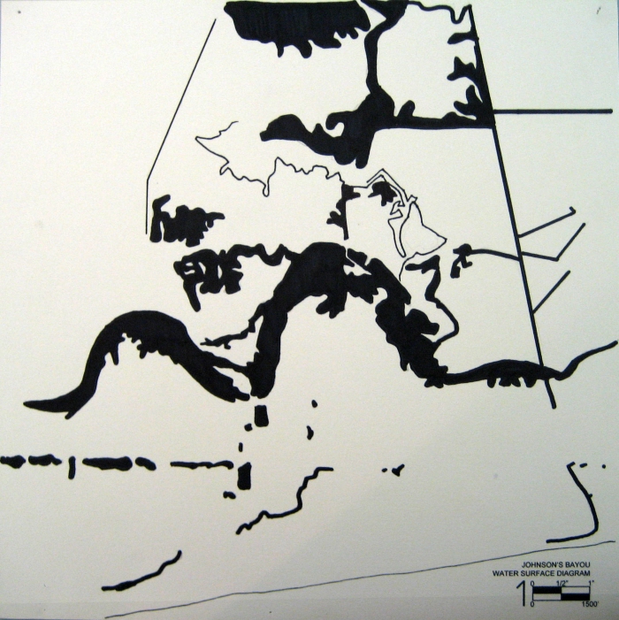
Johnson's Bayou Water Surface Diagram
Species Intensity Model w/ Road Overlay

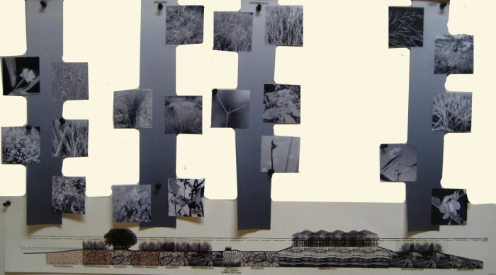
Interactive Plant Species Mapping Model
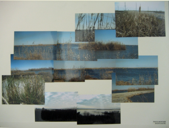
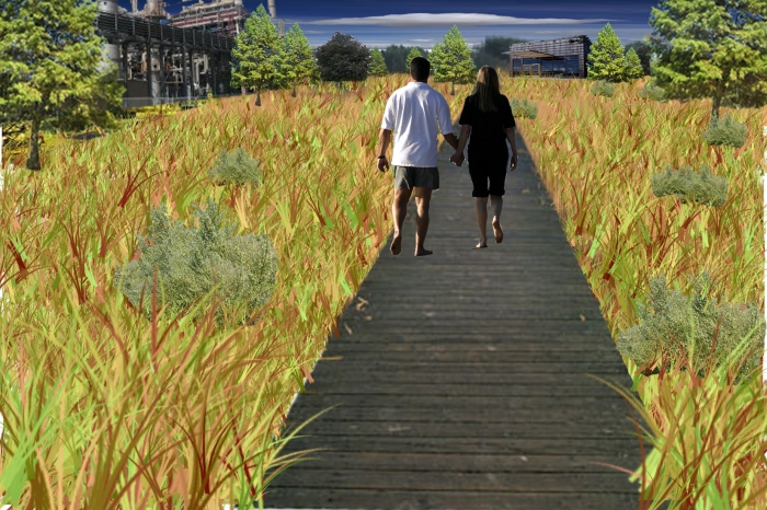
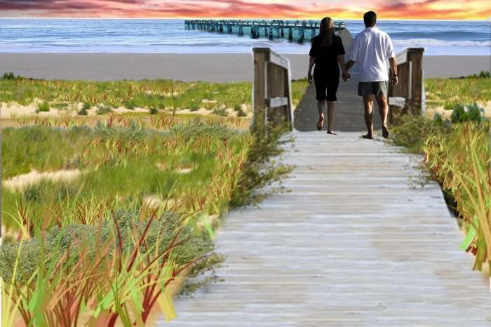
Photomontage
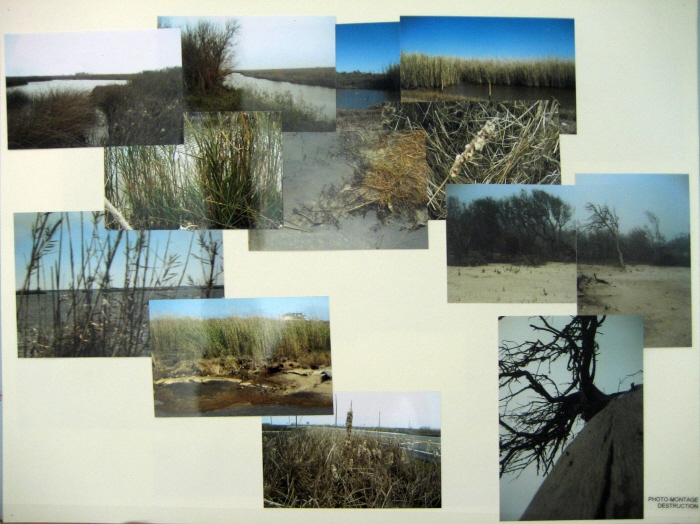
Photomontage: Destruction
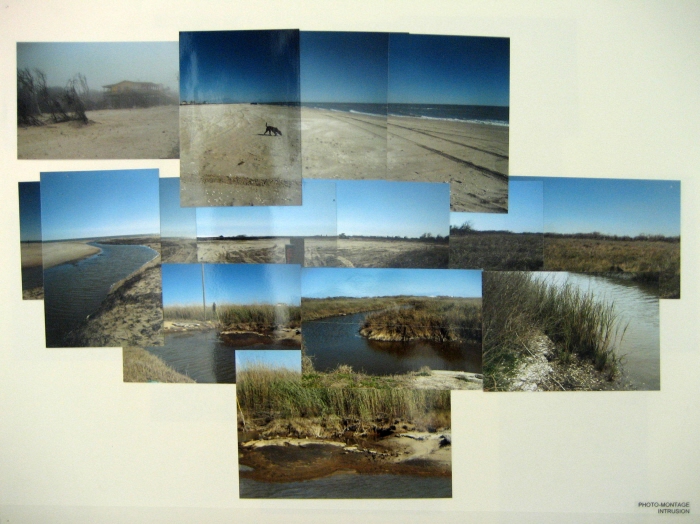
Photomontage: Intrusion
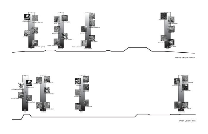
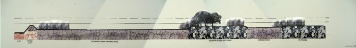
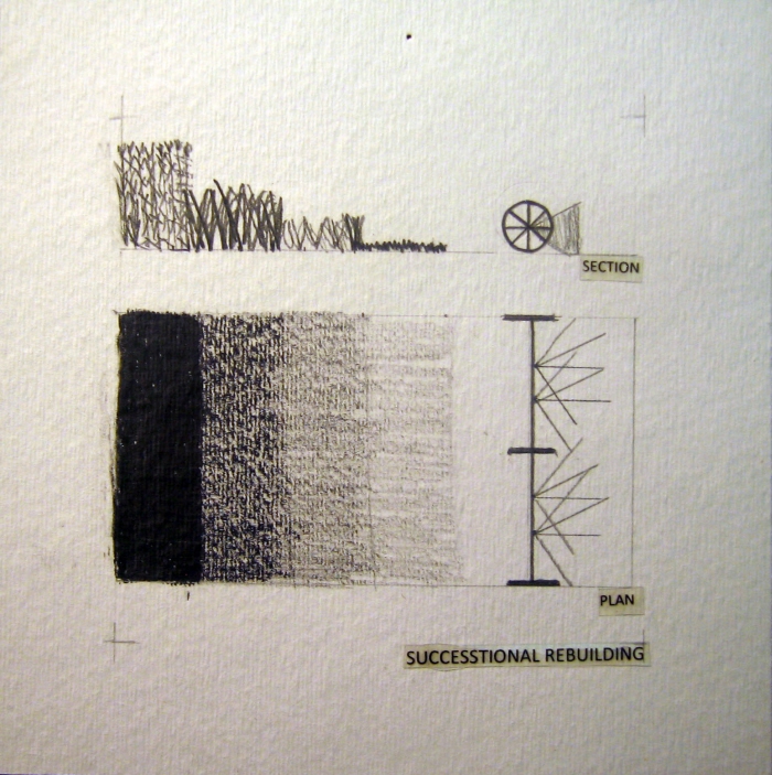
Section of Johnson's Bayou - Bar graphs locate where each species is found in the area, what type of marsh it is, and also the salinity tolerance of each species. In order from left to right: Salt, Brackish, Intermediate, and Fresh.
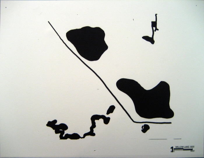
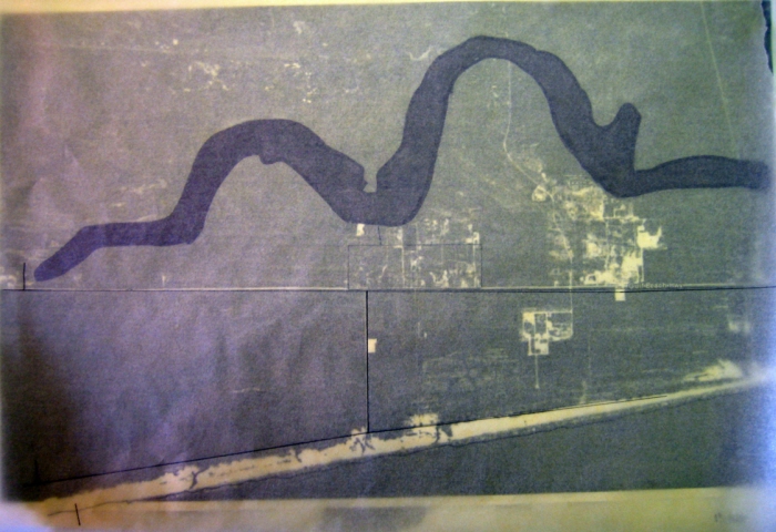
Willow Lake Water Surface 1935

Willow Lake Water Over Time Diagram 2005
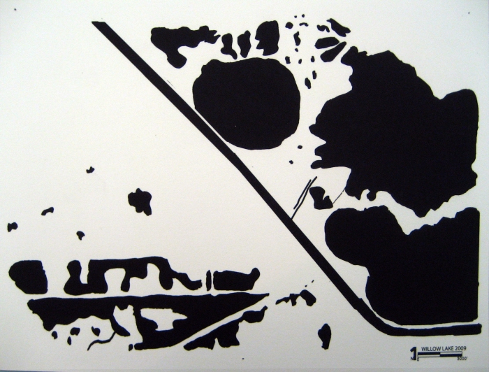
Willow Lake Water Over Time Diagram 2009
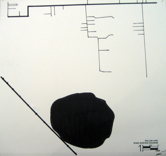
Willow Lake Road Surface Diagram
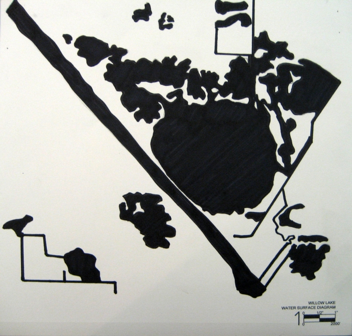
Willow Lake Water Surface Diagram
Model Perspective
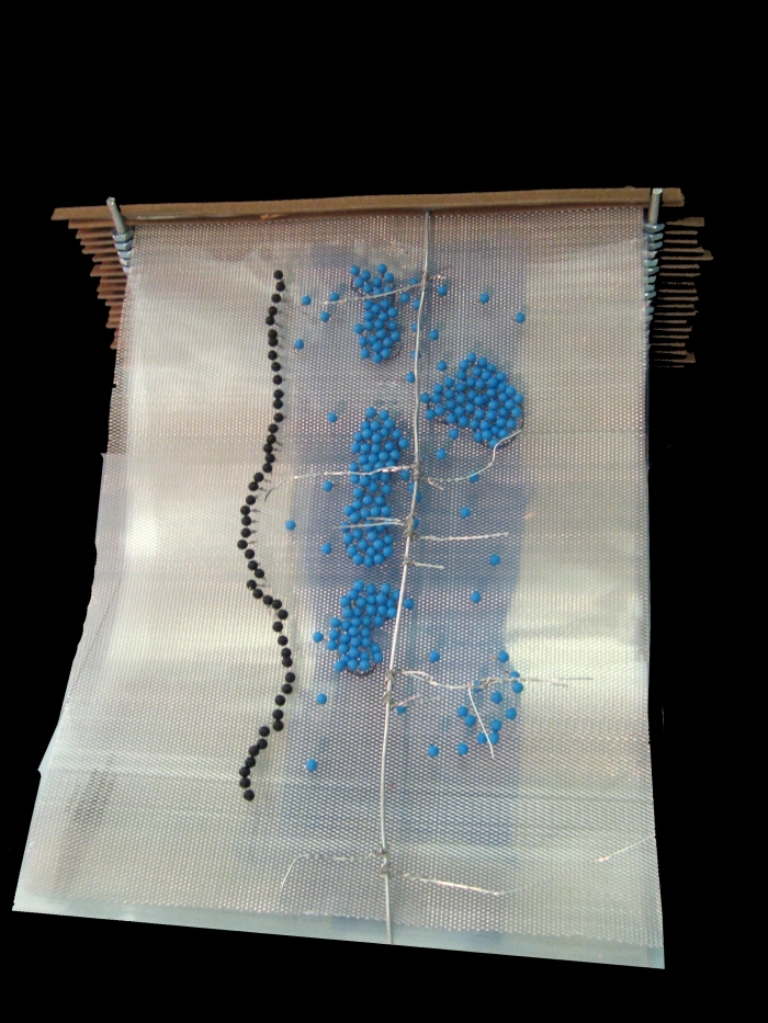
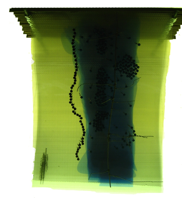
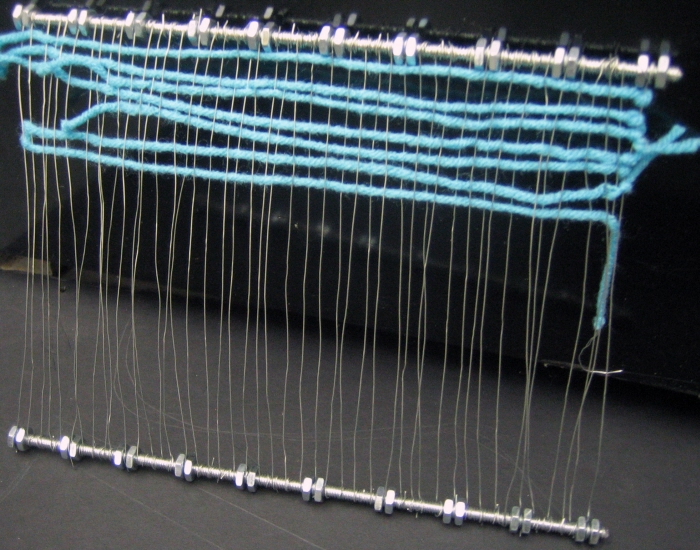
Model - View over light table, in order to see the different species interacting, and where the highest intensities are located.
Intensities Overlay Model
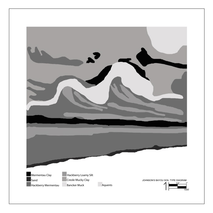
Johnson's Bayou Soil Type Diagram
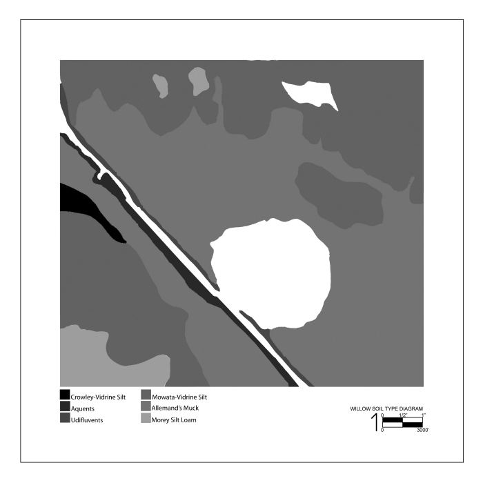
Willow Lake Soil Type Diagram
Plant Species Salinity Diagram (Revised)
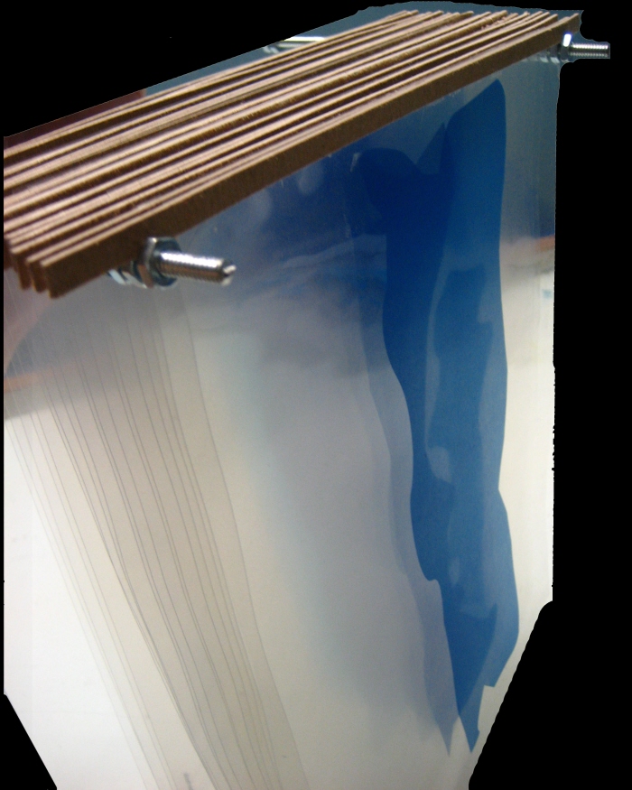
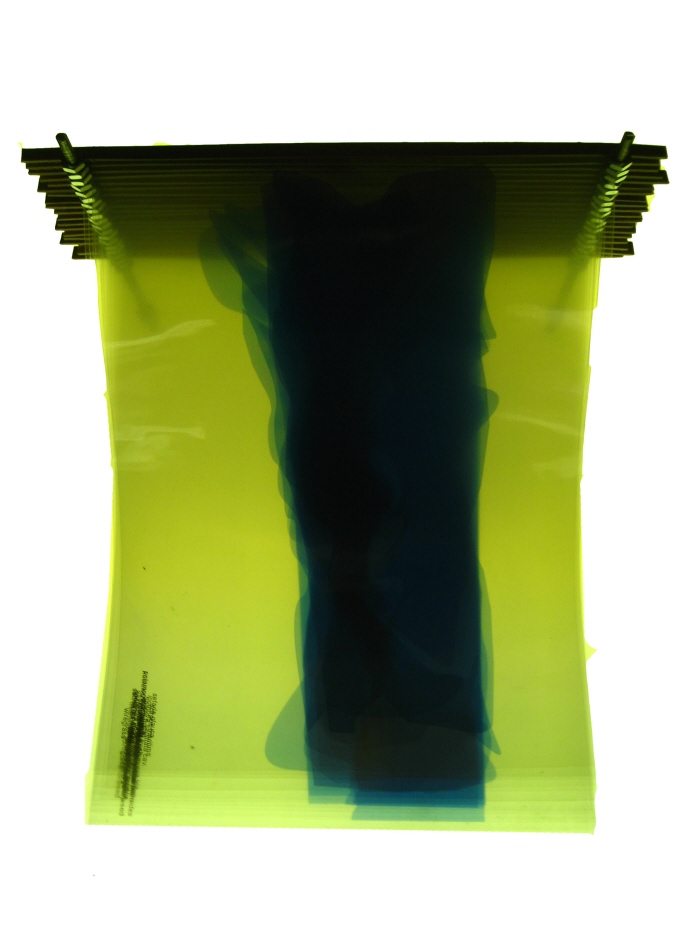
Willow Lake Section
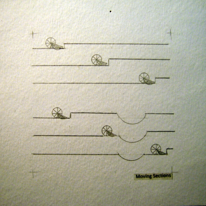
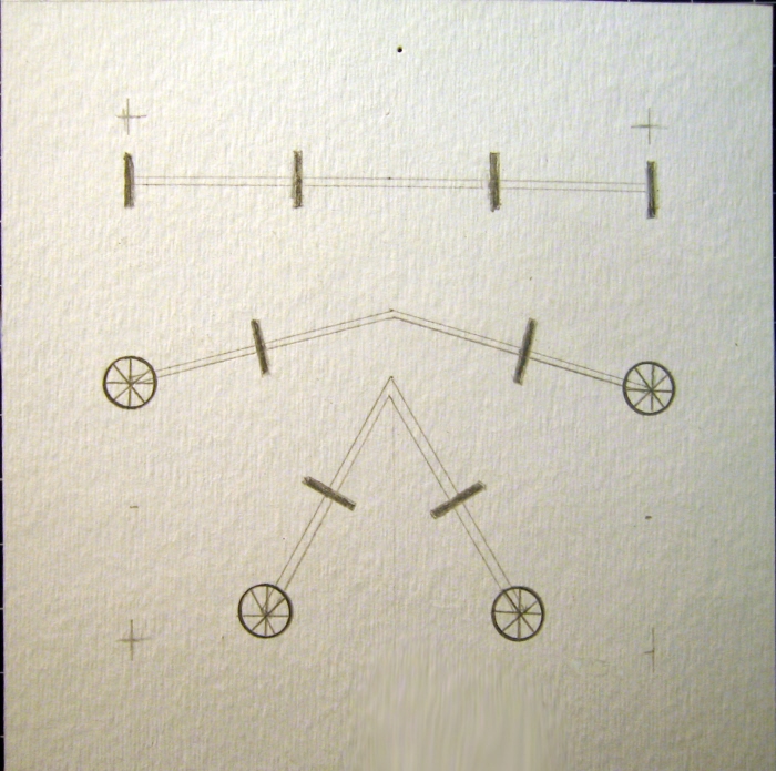
Machine Movement
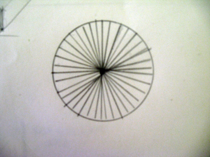
Because the machine can pivot, you can choose the direction that it will go.
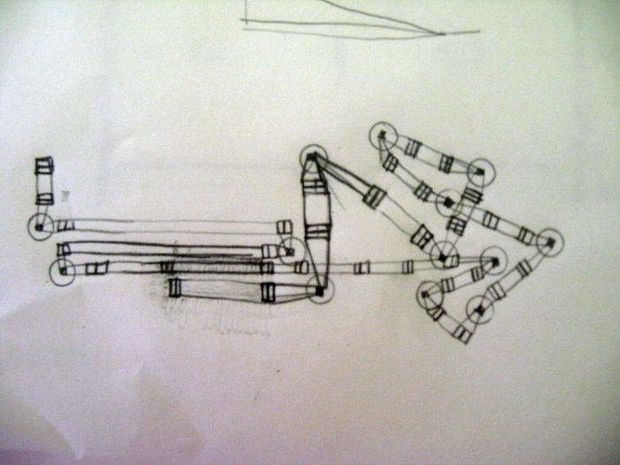
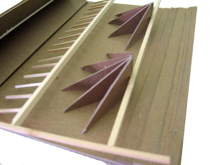
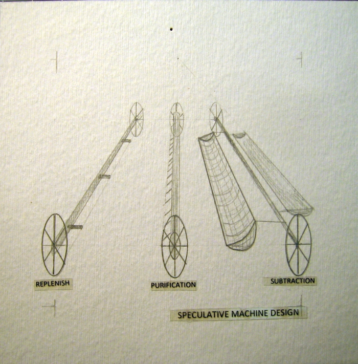
Machine Parts
Movement along the Coast
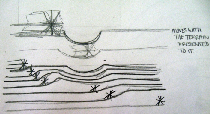
Terrain Movement - This machine would move with the deeper cananls, while it would level the shallow ones.
Edges - The machine would create edges as it moves through the landscape. It would be creating a negative space that has been changed.
Machine Model
Machines for Recovery - Sections demonstrating how the machine moves across different landscapes
Machines for Recovery - Perspective of machine design
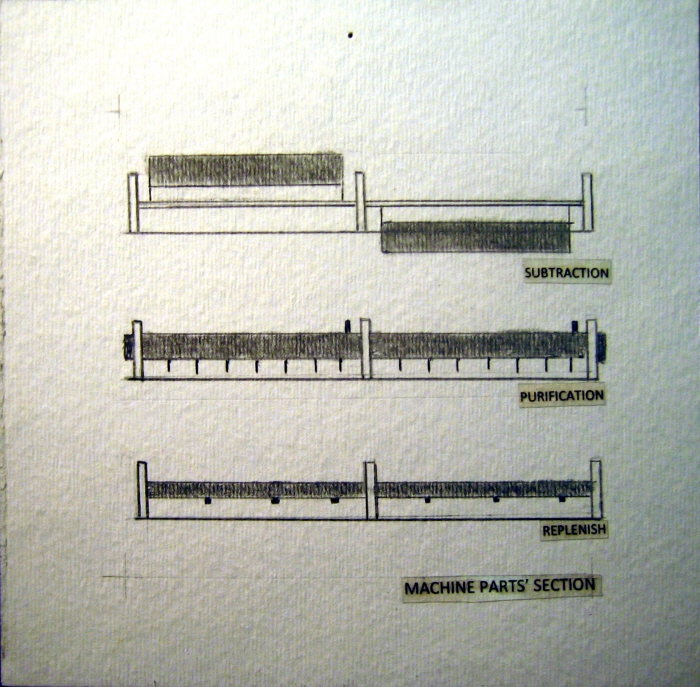
Machines for Recovery - Machine would have three different parts that travel in tandum with one another.
Machines for Recovery
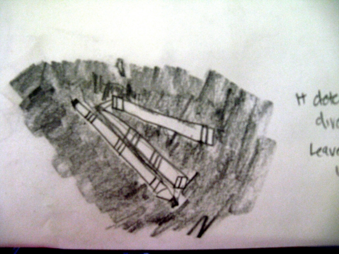
Machines for Recovery - Section of Machine pivoting in order to turn better.
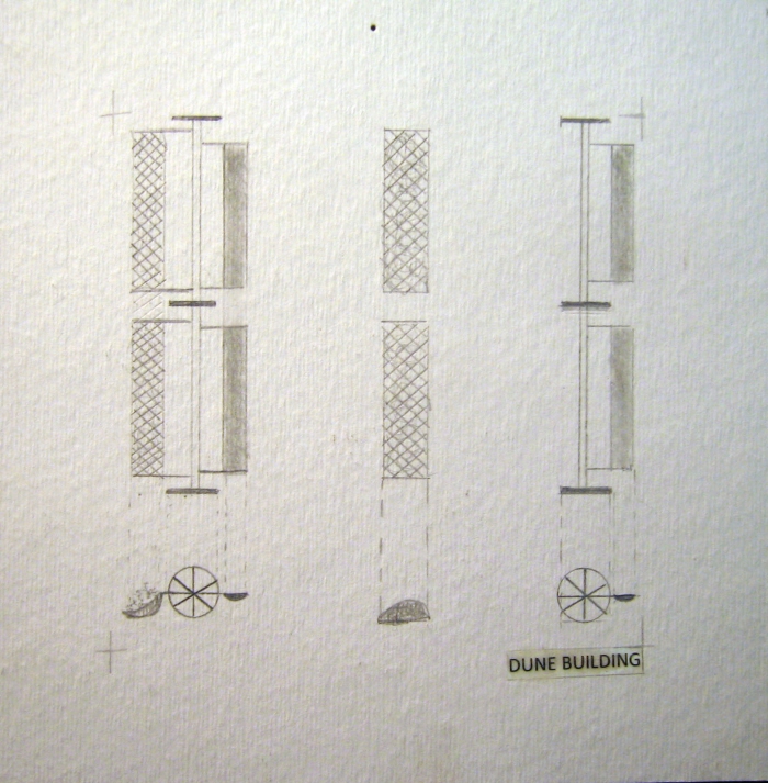
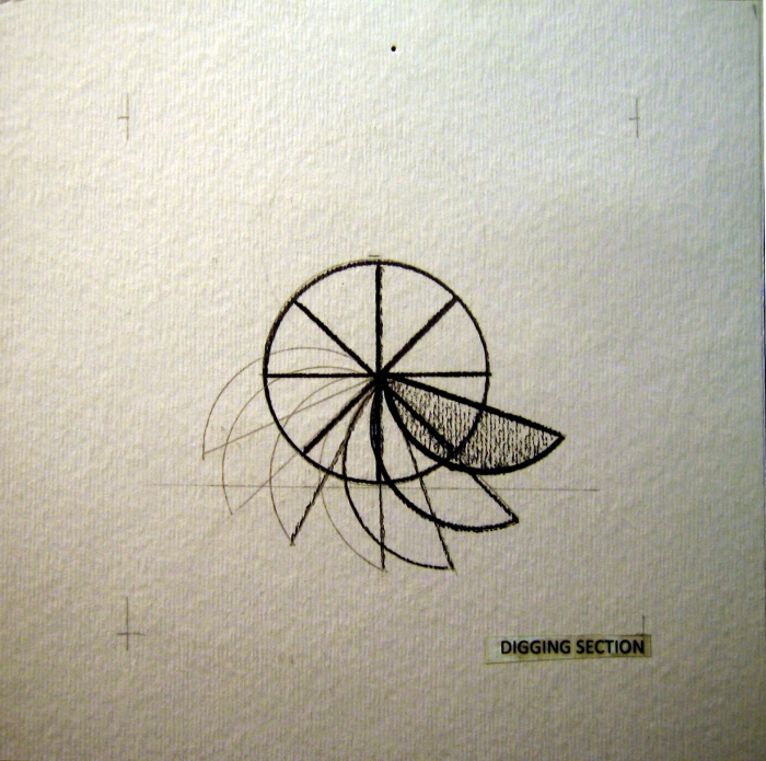
Machines for Recovery - Sections and plans of machine building dunes.
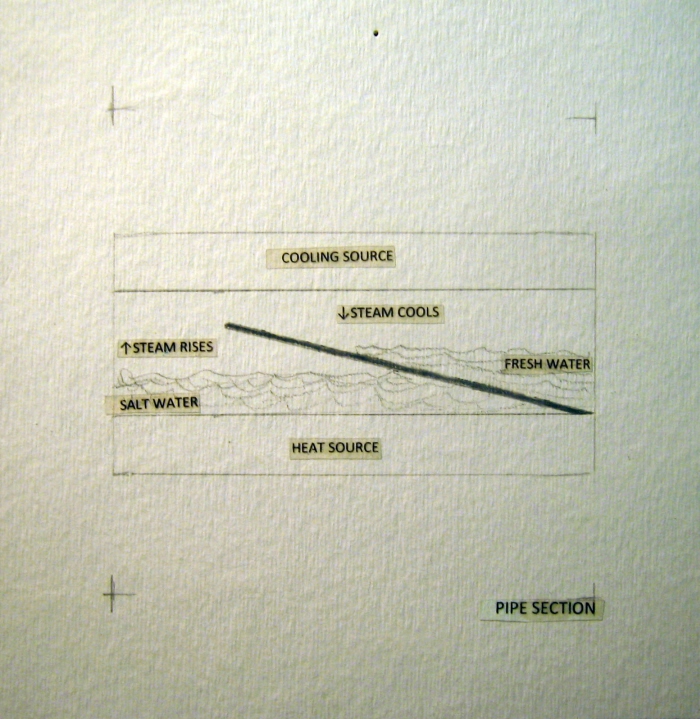
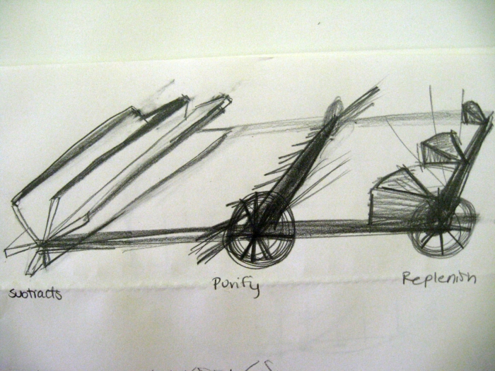
Machines for Recovery - Salt water purification, pipe section
Replenishing portion of machine
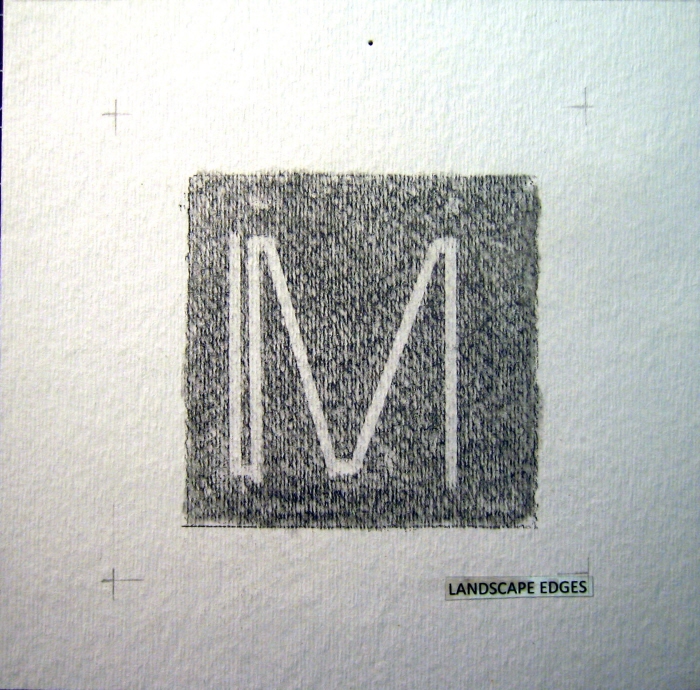
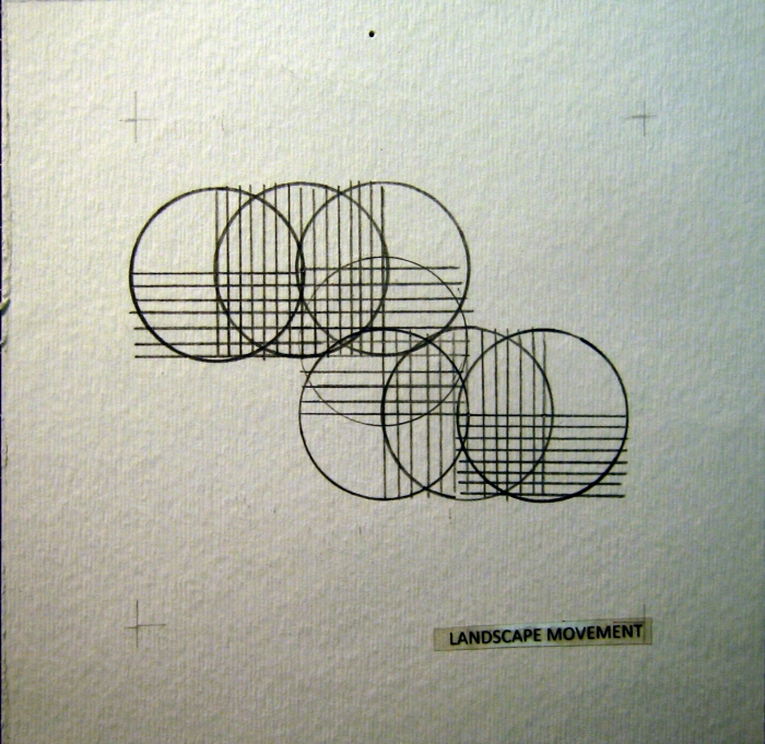
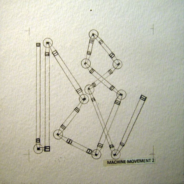
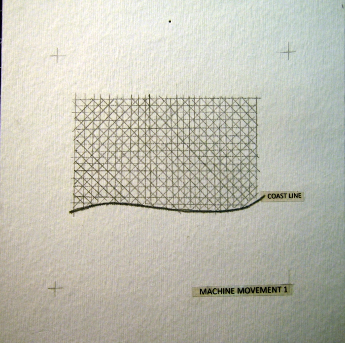
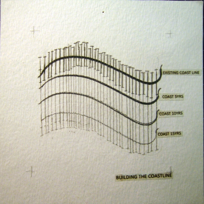
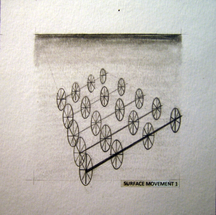
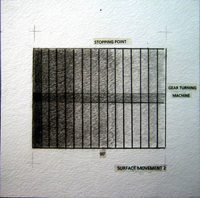
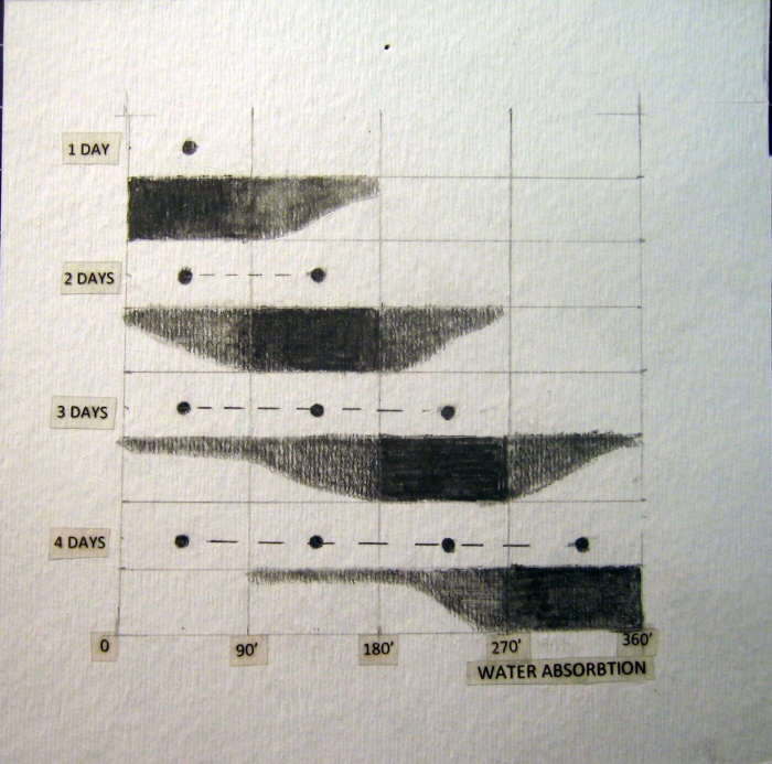
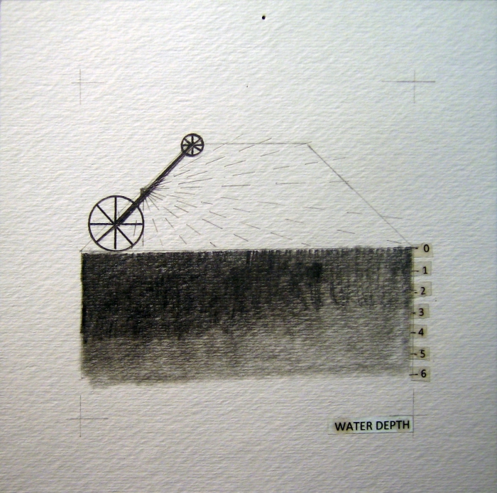
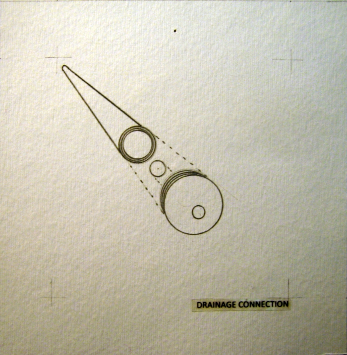
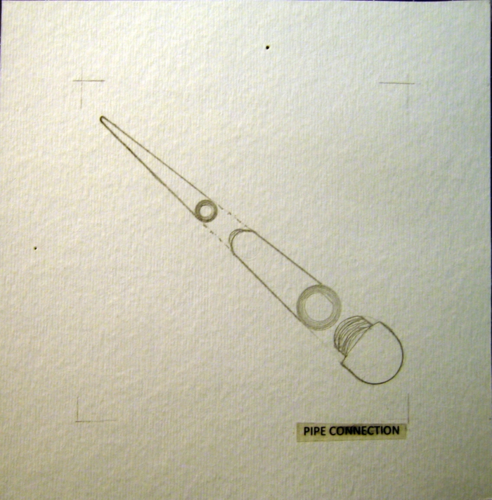
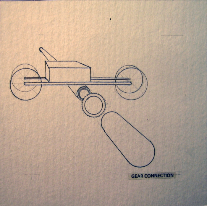
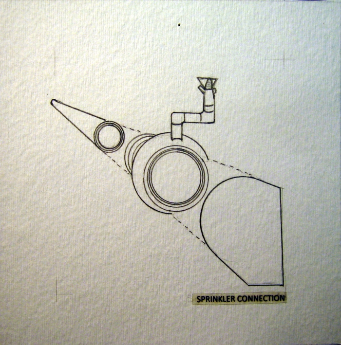
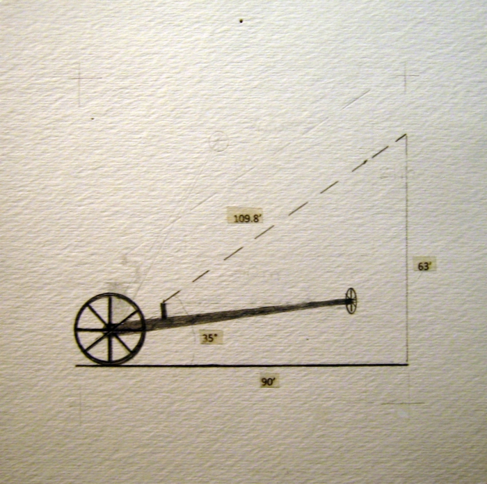
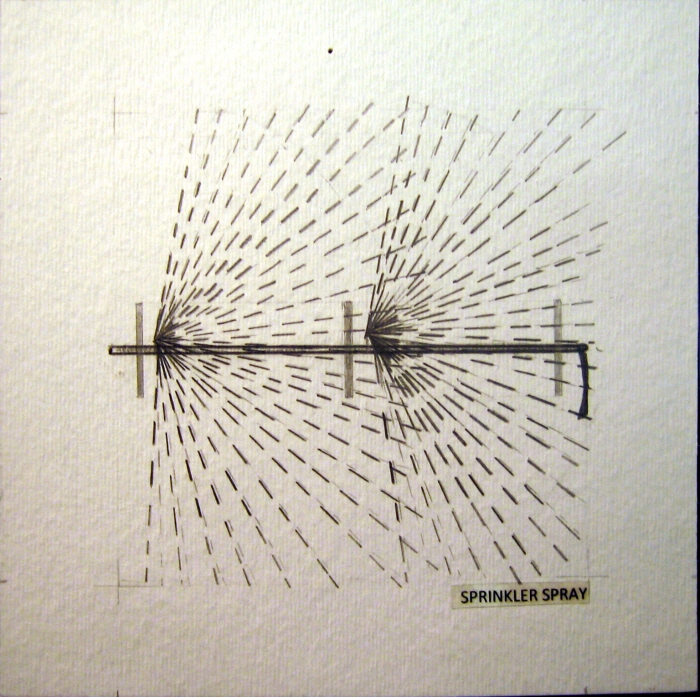
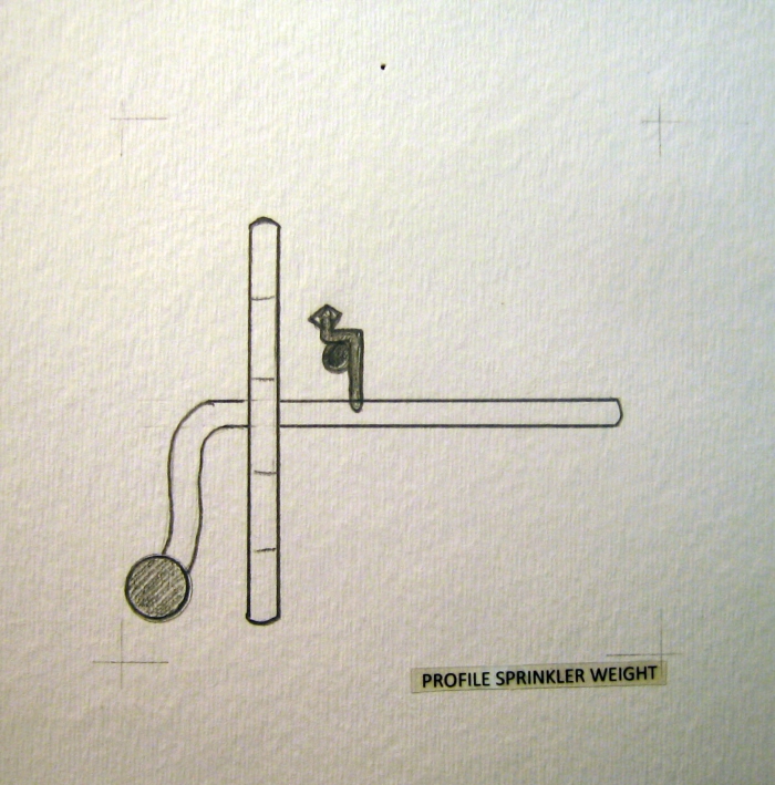
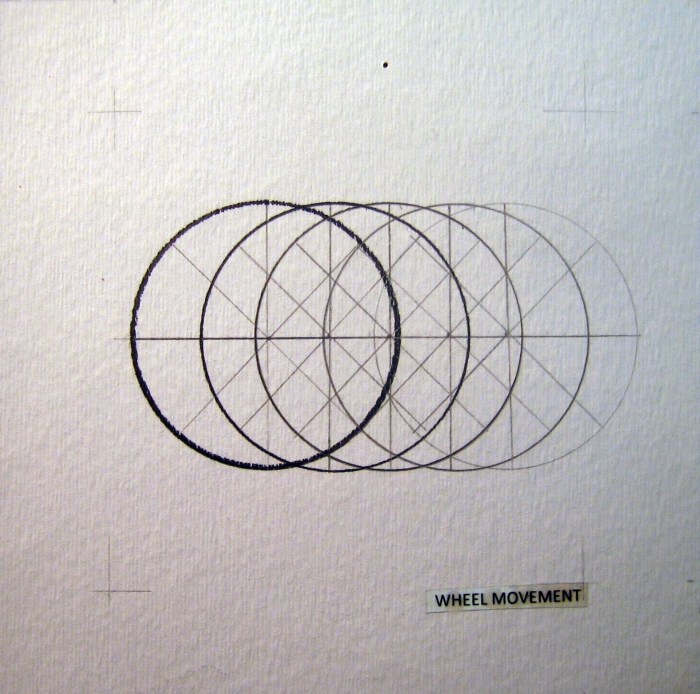
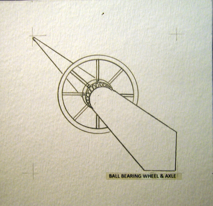
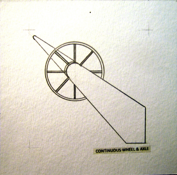
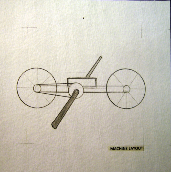
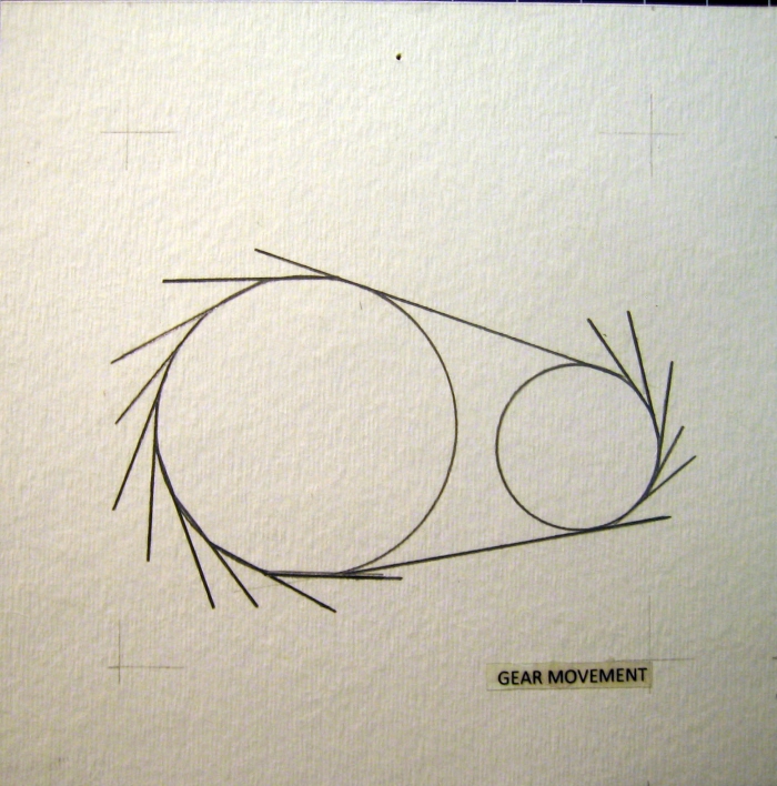
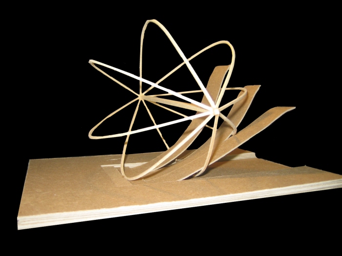
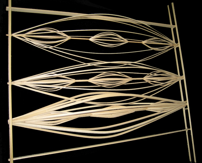
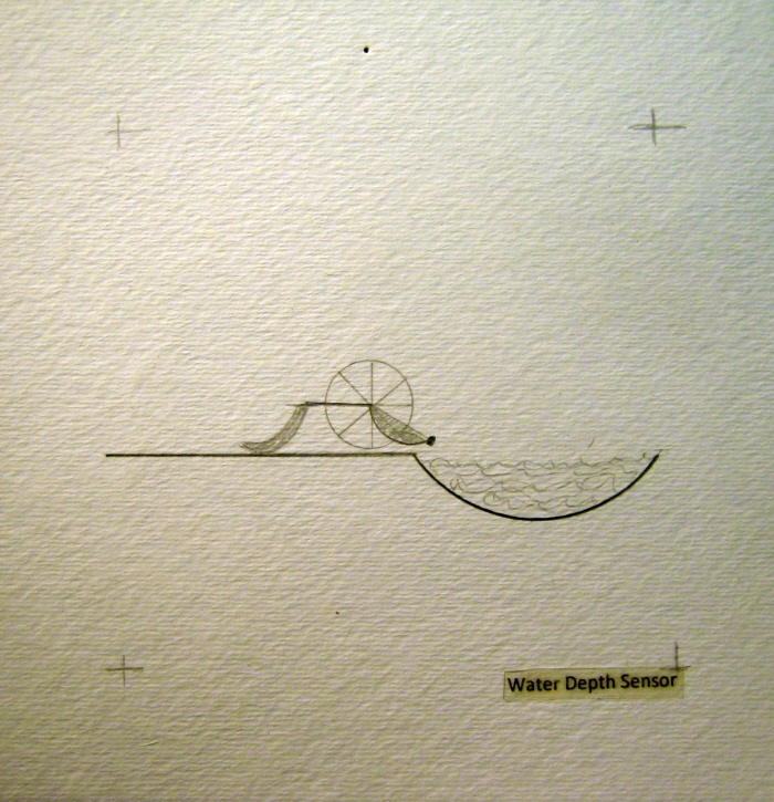
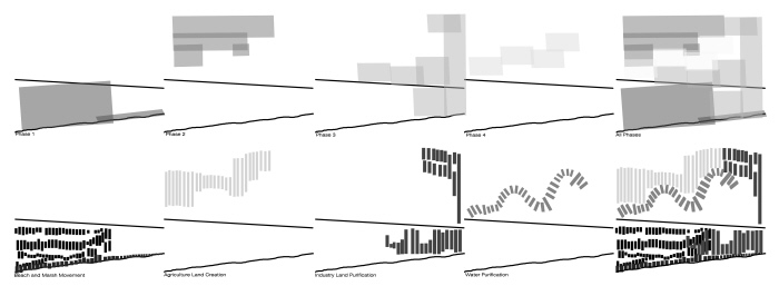
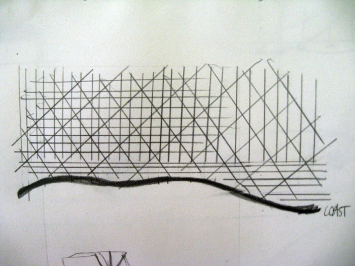
Diagram - I added Highway 82 and the coast line to give reference to what you're looking at
Life of Machine - The machine starts at the bottom left, working through the marsh area between the cheniers
Life of Machine - After it's worked through one area of marsh it moves to work on building dunes in the bottom left.
Life of Machine - The machine then moves to work at building up the marsh in order to become more sustainable. Also the first installment of the water filter system for residents is implemented
Life of Machine - That machine then makes a movement toward cleansing the industrial sites.
Life of Machine - The machine is then retired to begin the series of gettes that will help to build up sediment to protect the coast by acting as a buffer.
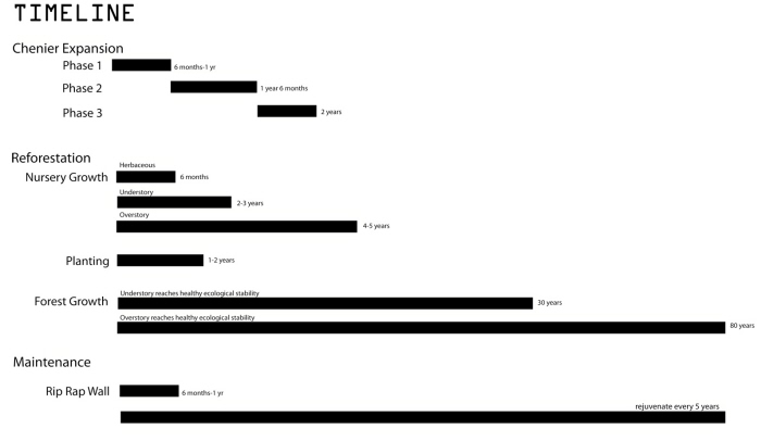
Timeline
New Master Plan - Moved residential so that more roads don't have to be built. The roads that were close to the shore were torn down and are not in the final design as they were temporary ways to move the machine.
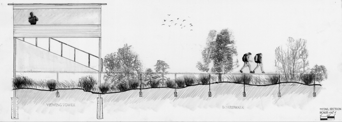
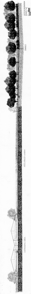
Detail Section - Viewing tower and boardwalk
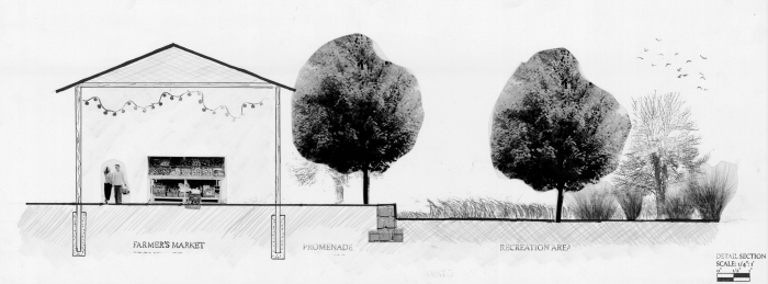
Detail Section
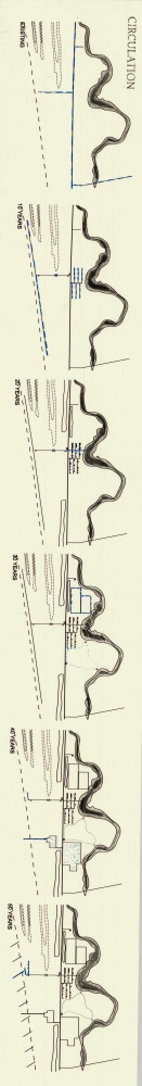
Circulation Phases
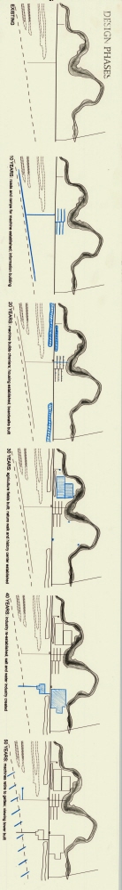
Design Phases
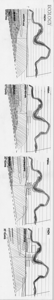
Ecology Diagram
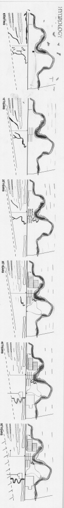
Hydrology Diagram
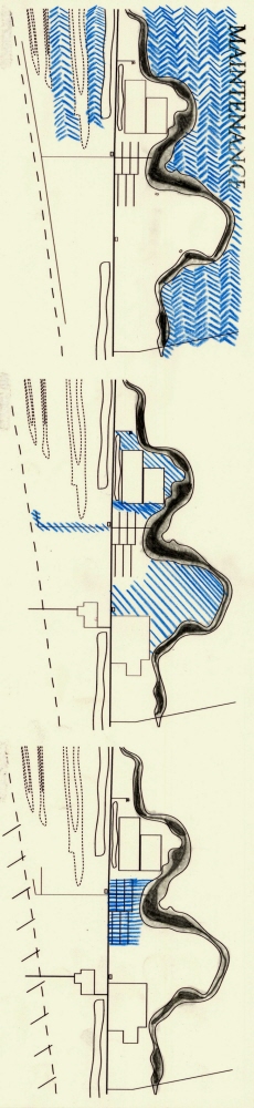
Maintenance Diagram
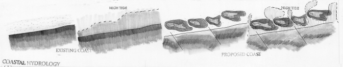
Coastal Hydrology
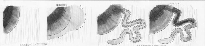
Lake Hydrology Diagram
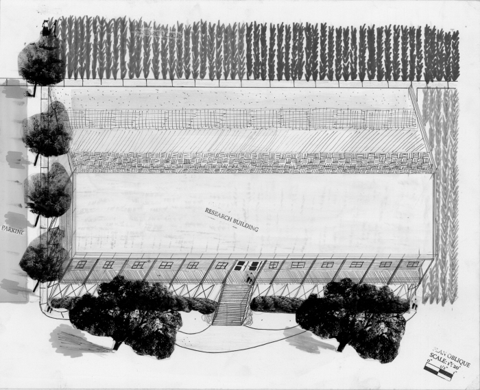
Plan Oblique
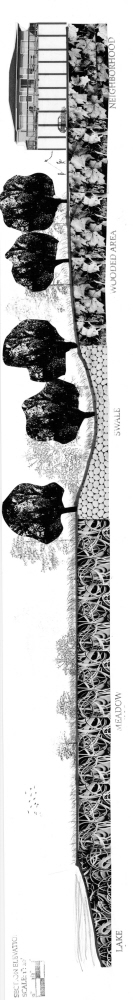
Section Elevation
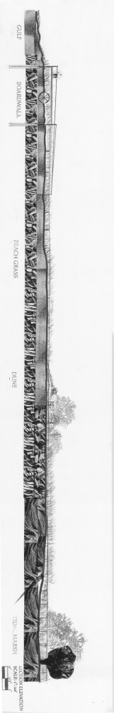
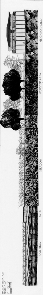
Section Elevation
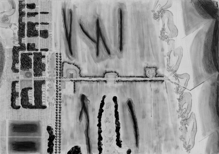
Master Plan 200 scale
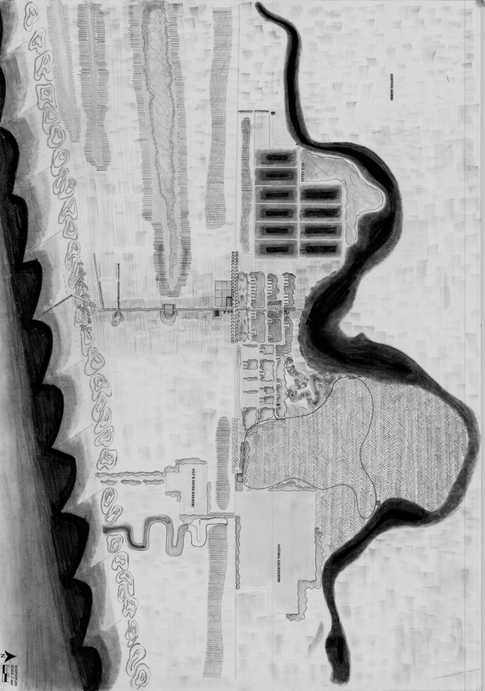
Master Plan 500 scale
Section Habitat Interaction
Section Habitat Interaction
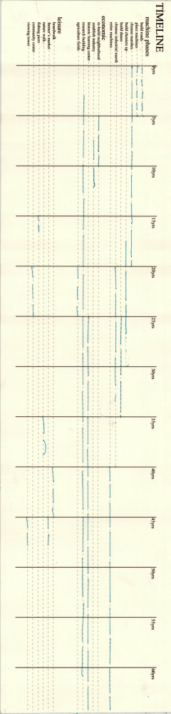
Timeline
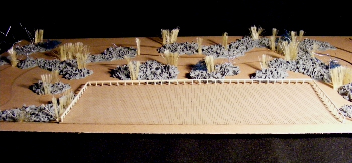
Model
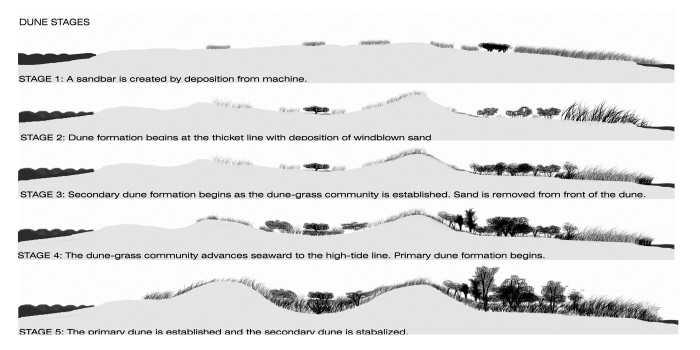
Dune stage Diagrams
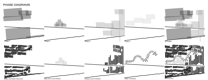
Phase Diagrams
Perspective of Nature Walk
Perspective Over Dunes
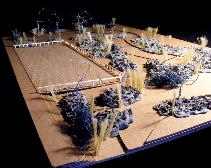
Model
gLike
Sara Miller